Download
1 / 32
320 likes | 365 Views
Explore the principles, processes, and applications of remote sensing, from energy sources to data analysis and sensor technologies. Learn about aerial photography and satellite imaging, including their respective advantages and limitations.

E N D
Violet: 0.4 - 0.446 m • Blue: 0.446 - 0.500 m • Green: 0.500 - 0.578 m • Yellow: 0.578 - 0.592 m • Orange: 0.592 - 0.620 m • Red: 0.620 - 0.7 m
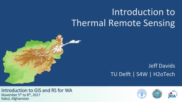
a) Energy Source • b) Radiation and the Atmosphere • c) Radiation and the Surface • d) Sensor recording Radiation • e)Transmitting Sensor Data • f) Data Analysis • g) Remote Sensing Application
Aerial photographs Scanned for processing High resolution <1m Small footprints 1-3 kms Limited spectral bands, black and white, colour or Infra Red High radial distortion - difficult to mosaic Satellite Images e.g. LANDSAT Collected digitally Low resolution >15 m Large footprints 185 kms 8 spectral bands, including black and white, colour, near- and mid-Infra Red and thermal Relatively low distortion fairly easy to mosaic
As a satellite revolves around the Earth, the sensor "sees" a certain portion of the Earth's surface. The area imaged on the surface, is referred to as the swath.
Radar Imagery is particularly important for marine pollution since it clearly detects and oil spill through greater back scattering of radiation.