Download
1 / 9
90 likes | 249 Views
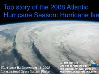
Eye on the Storm: Predicting a Hurricane's Path of Destruction. Hurricane Research Group Graduate School of Oceanography University of Rhode Island. U.S. National Hurricane Center in Miami Issues Official Hurricane Forecasts and Warnings. Satellite Observations of Hurricanes. Quikscat. TRMM.

E N D
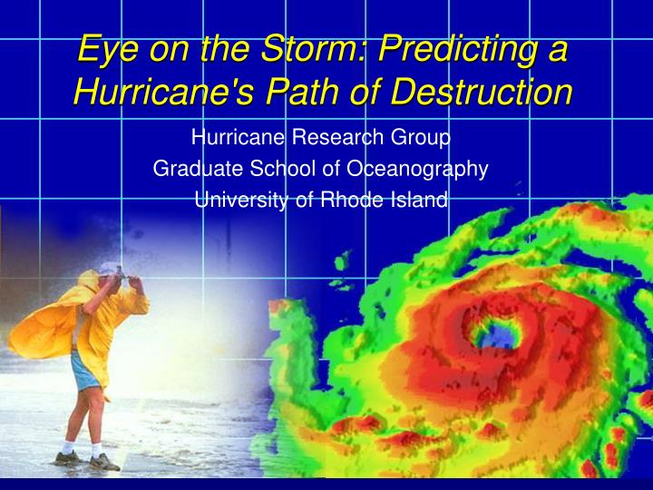
Eye on the Storm: Predicting a Hurricane's Path of Destruction Hurricane Research Group Graduate School of Oceanography University of Rhode Island
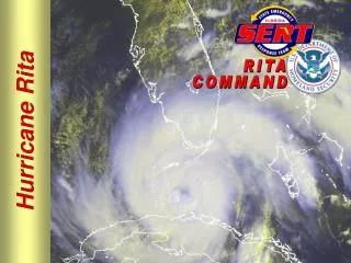
U.S. National Hurricane Center in Miami Issues Official Hurricane Forecasts and Warnings
Satellite Observations of Hurricanes Quikscat TRMM Aqua Aura GPM CALIPSO/CloudSat
Aircraft Observations of Hurricanes NOAA P3 “Hurricane Hunter” aircrafts SFMR’s being transitioned from research to operations - measurement of the hurricane surface wind field, and in particular the estimation of wind maxima
The GFDL Hurricane Model • GFDL model has been the most reliable model for track forecasts during the past decade and has made a significant contribution toward reducing the official track error since 1995. • Upgraded every year by NOAA/GFDL and URI scientists
Radiation to space Radiation to space OUTFLOW (Isothermal compression) OUTFLOW (Isothermal compression) Inward component of surface wind Inward component of surface wind Evaporation from ocean Evaporation from ocean Physical Processes in a Hurricane Image courtesy of http://hurricanes.noaa.gov DOWNDRAFT (Adiabatic compression & warming) DOWNDRAFT (Adiabatic compression & warming) UPDRAFT (Adiabatic expansion & cooling) INFLOW (Isothermal expansion) INFLOW (Isothermal expansion) Hurricanes develop and are maintained by transportation of water vapor from the ocean surface up a natural chimney to the upper atmosphere.
Critical importance of physical processes at the air-sea interface in controlling hurricane intensity:High waves and sea spray - Surface becomes emulsive for winds greater than 35 m/s
Wind-Wave-Current Interaction Wind Sea State Atmosphere Current Surface waves Ocean Current Ocean currents
Our research group is involved in developing the next generation U.S. National Weather Service Hurricane-Wave-Ocean-Surge-Land Inundation Model Hurricane Model (HWRF) NOAH Land Model runoff High resolution Coastal, Bay & Estuarine hydrodynamic model surge inundation fluxes Atmosphere/oceanic Boundary Layer radiative fluxes winds air temp. other fluxes elevations currents 3D salinities temperatures SST currents HYCOM 3D ocean circulation model wave spectra WAVEWATCH III Spectral wave model wave fluxes