Download
1 / 19
200 likes | 438 Views
OBIS • SEAMAP mapping marine megavertebrates http://seamap.env.duke.edu. Zope/Plone/Python for Research Ben Best. Outline. Project Context Initiative for CMS Site Tour Technical Plone Transition from PHP Database Connectivity Portlet Creation Future. OBIS-SEAMAP – Online Archive.

E N D
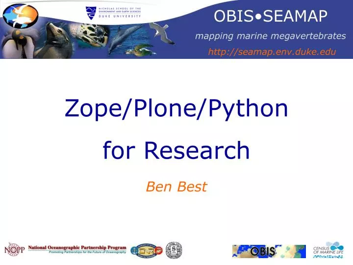
OBIS•SEAMAP mapping marine megavertebrates http://seamap.env.duke.edu Zope/Plone/Python for Research Ben Best
Outline • Project Context • Initiative for CMS • Site Tour • Technical Plone • Transition from PHP • Database Connectivity • Portlet Creation • Future
OBIS-SEAMAP – Online Archive Search • Query taxonomic, spatial and temporal data Explore • Browse datasets and species profiles Map • Interactively map biological and environmental data
Software Architecture • Map Framework • Chameleon • IMF PHP Web User • Mapper • MapServer • ArcIMS • Web Content • Plone • www.cmsmatrix.com Python • GeoDatabase • PostGIS • ArcSDE • Database • PostgreSQL • Oracle / SQLServer
“Industrial” Services Data Factoryfor Providers Data Minefor Users Upload Search Map Browse GeoDatabase EditMetadata ViewDetail,Map ManageDatasets Download Data Pipelinesfor Servers Z39.50 XML OPeNDAP FGDC WMS
CoML / OBIS Context Historical-MAP Field Projects Taxonomic OBIS-SEAMAP Ocean Biogeographic Information System Future-MAP Regional / Physiographic Regional OBIS Nodes Ocean Biogeographic Information System Spatial Ecological Analysis of Megavertebrate Populations marine mammals, seabirds, sea turtles web
TrophicNetworks “trophic” information networks fisheries / mgmt top predators prey OBIS-SEAMAP producers oceanography Hierarchical Information networks…. Portals Nodes
SpatialNetworks Digital Atlas of Marine Mammals Regional OBIS Nodes Fornwall, M. Oceanography • Vol. 13 • No. 3/2000
Context + GBIF • GBIF Portal Toolkit • Overview • Download Global Biodiversity Information Facility Ocean Biogeographic Information System OBIS•SEAMAP
Web Transition New (Zope/Plone)http://seamap.env.duke.edu Original (PHP) http://obis.env.duke.edu (CMS for GBIF and Duke)
Transitioning from PHP • External Method ie geturl • PHParser ie dataset_detail • DTML ie index • ZPT ie datasets search # geturl.pyimport urllib,sys,os def geturl(url): fp=urllib.urlopen(url) content=fp.read() fp.close() return content
Database Connectivity • Database Connection • Z SQL Query • DTML / ZPT Code
Portlet Creation • portlet_datahighlights
Python in ArcGIS 9 • ModelBuilder • Python Scripting • ArcGIS Server
Plone Products Downstream • PloneMap • R Zope
Home Datasets • Tabs • Datasets • Species • Mapping • Bibliography • Navigation • Highlights • Login • Search • News • Events go
Datasets Catalogue view go
Datasets > Detail • Summary records, map temporal and spatial extents • Links toMapping,Species, Metadata • Citation, Abstract, Purpose, Contacts Search go
Data Provider Interface Data Provider Login View Profile Datasets Usage Statistics