Download
1 / 9
90 likes | 104 Views
Learn about the seven continents, five oceans, and key geographic terms like Equator and Prime Meridian. Discover how maps and globes are used to locate places, determine distances, and understand Earth's geography.

E N D
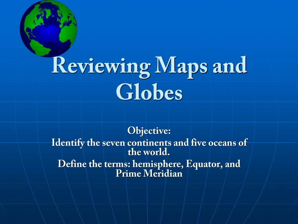
Reviewing Maps and Globes Objective: Identify the seven continents and five oceans of the world. Define the terms: hemisphere, Equator, and Prime Meridian
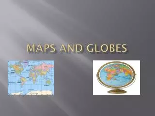
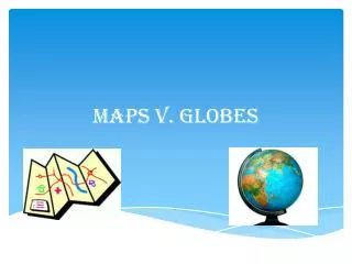
Maps and Globes • Maps and globesare used to find locations of countries, cities, oceans, rivers, mountains and deserts. • They show the shapes and sizes of places on earth. • They help you determine distances and directions between places. • Globesare models, or small copies of the earth. • Mapsare drawing on flat surfaces of all or part of the earth.
The Seven Continents • Large bodies of land are called continents. The seven continents of the world are… • North America • Europe • Asia • Africa • Australia • Antarctica • South America
The Five Oceans • The continents are separated by bodies of water called oceans. • The 5 Oceans of the World are: • Pacific Ocean • Atlantic Ocean • Indian Ocean • Arctic Ocean • Newly Added – • The Southern Ocean
The Equator divides the earth into: Northern Hemisphere Southern Hemisphere. The Equator is an imaginary line of latitude that measures 0°. The Prime Meridian divides the earth into: Eastern Hemisphere Western Hemisphere The Prime Meridian is an imaginary line of longitude that measures 0°. The Equator The Prime Meridian
Hemispheres • Geographers use the term hemisphere to refer to half of the earth. The four hemispheresof the earth are…. • Northern • Southern • Eastern • Western
Time To Review • What is a continent? Name the continents that border the Atlantic Ocean. • What is a hemisphere? • What imaginary line separates the Northern and Southern hemispheres? • What imaginary line separates the Eastern and Western hemispheres? • How can using globes help you learn about the earth?