Download
1 / 24
240 likes | 450 Views
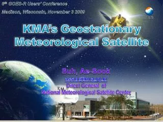
GOES-R User Conf. (10-14 May, 2004). Communication, Ocean and Meteorological Satellite(COMS) Program in Korea. COMS Program Office(METRI), Korea Meteorological Administration & Korea Aerospace Research Institute. 2011 Scientific Satellite4. 2005 Scientific Satellite 2. 2003

E N D
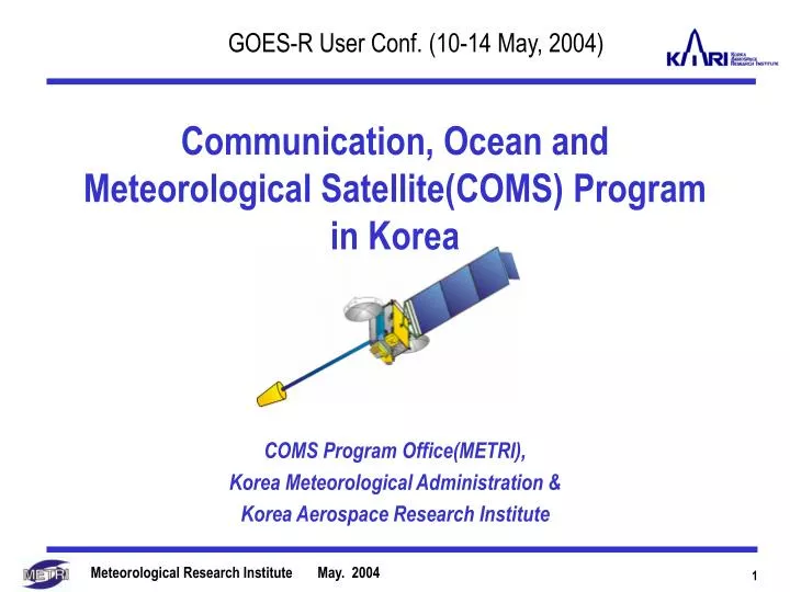
GOES-R User Conf. (10-14 May, 2004) Communication, Ocean and Meteorological Satellite(COMS) Program in Korea COMS Program Office(METRI), Korea Meteorological Administration & Korea Aerospace Research Institute
2011 Scientific Satellite4 2005 Scientific Satellite 2 2003 Scientific Satellite 1 2004 KOMPSAT 2 2005 KOREASAT 5 2009 KOMPSAT4 2010 KOMPSAT5 2012 KOMPSAT 6 2014 KOMPSAT 7 2013 Scientific Satellite 5 2015 Scientific Satellite 6 2015 KOMPSAT 8 2015 KOREASAT 6 National Space Program in Korea 2008 Communication, Ocean & Meteorological Satellite-1 2006 2001 1999 KOMPSAT 1 2008 KOMPSAT 3 2008 Scientific Satellite 3 1999 KITSAT 3 1999 KOREASAT 3 2014 Communication, Ocean & Meteorological Satellite 2 2011
Mission Objectives of COMS • Satellite Communication Mission • In-orbit verification of the performance of advanced communication technologies. • Experiment of wide-band multi-media communication service. • Ocean Monitoring Mission • Monitoring of marine environments around the Korean peninsula. • Production of fishery information(Chlorophyll, etc.). • Monitoring of long-term/short-term change of marine ecosystem • Weather Monitoring Mission • Continuous monitoring of imagery and extracting of meteorological products with high-resolution and multi-spectral imager. • Early detection of special weathers such as storm, flood, yellow sand, etc. • Extraction of data on long-term change of sea surface temperature and cloud.
COMS Satellite Description • Total Fund of COMS-1 : appr. 240 Million dollars • Mounting Payload Specfication Communication System ( Wt : 90 kg Needed Power : 1,500 W) Marine Obs. Sensor ( Wt : 60 kg N/P : 80 W) Meteorological Obs. Sensor (Wt : 150 kg N/P : 270 W) • The Oncoming Schedule 2004 : Completion of System Design 2005 : Completion of preliminary Design 2006 : Completion of detailed Design 2007 : System Assembly and Test 2008 : Launch and Operation of Satellite
Meteorological Imager (5 channels) - Vis 0.55~0.80 micrometer - IR 3.5~4.0, 6.5~7.0, 10.3~11.3, 11.5~12.5 micrometer COMS - figure • platform type • expected at (0 N, 116 E) Solar panel Ka-band antenna for telecommunication Meteorological Payload Inertial balance • Observation mode - Full Disk (planetary) : once / 3 hours - Regional (synoptic) : 4 times/1 hour - Local (mesoscale) : 8 times / 1 hour Oceanographic payload Antenna for Met/ocean data
Requirement of Ka-band Payload(TBC) Ka-band Service Coverage User Requirements (1/4)- Communication Mission -
Requirement of Ocean Sensor(TBD) Ocean Sensor Coverage User Requirements (2/4)- Oceanic Mission -
User Requirements (3/4)- Meteorological Mission (1/2) - • Requirement of Imager(TBC)
Operation Mode of Imager Regional Observation Area Watched on the 116E Equator User Requirements (4/4)- Meteorological Mission (2/2) - * EAPNH : East Asia and Pacific in Northern Hemisphere
Internet Internet COMS System Architecture Ka-band RF Signals HRIT/LRIT Meteorological Information Supply Command, Telemetry Communication System Monitoring Facility Raw Data, HRIT/LRIT Foreign Meteorological Data Receiving Station HRIT/LRIT Raw Data Various Site Satellite Operation Control Center / Back-up Data Processing Center Meteo/Ocean Data Application Center (Primary Data Processing Center) Exclusive Line Foreign Meteorological Organization / Foreign User Specialized Organization / Domestic User
COMS Frequency and Orbit(Draft) • COMS Orbital Position : 116E (Target Orbit) • COMS Frequency Band • For Ocean and Meteorological Service (will be filed to ITU) • 1,670 ~ 1,710 MHz • 2,025 ~ 2,110 MHz • 2,200 ~ 2,290 MHz • For Communication Service (already secured) • 27.0 ~ 31.0 GHz • 18.1 ~ 21.2 GHz
Case Analyses • July 31,1998 Shoonchun 187mm/day • Mt. Jiri’s Heavy rainfall • - July 15, 2001 Seoul 273.4mm/day • Seoul/Kyungki Prov. • Heavy Rainfall • - Aug. 31, 2002 Kangnung 870.5mm/day • TY Rusa’s Heavy Rainfall
The Distributions of Daily Rainfall TY Rusa Heavy Rainfall Mt. Jiri Heavy Rainfall Seoul/Kuingki Prov
Distribution of Hourly Rainfall(Mt. Jiri Heavy Rainfall) 13LST 14LST 15LST 16LST 17LST 18LST 19LST 20LST 21LST 22LST 23LST 24LST
Hourly Rainfall Intensity(Seoul/Kyungki Prov) * 일강수 5순위 : 서울, 춘양(*), 춘천, 홍천, 양평, 인천
Distribution of Hourly Rainfall(Seoul/Kyungki Prov. Heavy Rainfall) 01LST 02LST 03LST 04LST 05LST 06LST 07LST 08LST 09LST 10LST 11LST 12LST
Hourly Rainfall Intensity(TY Rusa Heavy Rainfall) * 일강수 5순위 : 강릉, 대관령, 동해, 속초, 추풍령
Distribution of Hourly Rainfall(TY Rusa Heavy Rainfall) 02LST 04LST 06LST 08LST 10LST 12LST 14LST 16LST 18LST 20LST 22LST 24LST No observed data due to record-broken rain
Summary • Meteorological Effects: - Early detecting and continuous monitoring the high impact weathers - Improvement of NWP model using satellite data - Early detection of aerosol, such as Asian dust, and monitoring of its transport, etc. - Long term extraction of climate variation information • Oceanographical Effects: - Reducing the property damages of fishermen - preventing the ocean resources from damaging • Communicational Effect: - In-orbit test of developed communication payload
COMS – Sincere Prayer Wishes for a succesful COMS Project