Download
1 / 23
230 likes | 364 Views
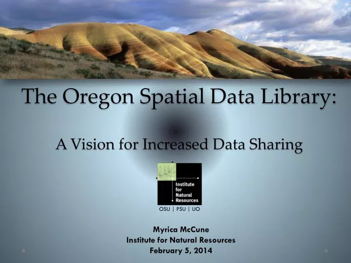
The Oregon Spatial Data Library: A Vision for Increased Data Sharing. OSU | PSU | UO. Myrica McCune Institute for Natural Resources February 5, 2014. Institute for Natural Resources. Strategic Goals. Informing natural resource decision making through integrated knowledge and information. .

E N D
The Oregon Spatial Data Library:A Vision for Increased Data Sharing OSU | PSU | UO Myrica McCune Institute for Natural Resources February 5, 2014
Institute for Natural Resources Strategic Goals Informing natural resource decision making through integrated knowledge and information. Goal 1 Increase the ability of others to efficiently and effectively deliver environmental and resource outcomes. Goal 2 Extend the reach of integrated knowledge and information to inform natural resource decision making. Goal 3 Enhance the relevance and delivery of INR’s distinctive suite of services and products. oregonstate.edu/inr OSU | PSU | UO
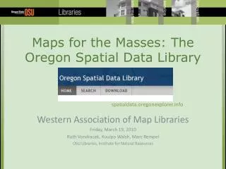
http://oregonexplorer.info Central access for natural resource decision-making information in Oregon and the West since 2005. Partnership of OSU Libraries & Press and theInstitute for Natural Resources 15 Explorer Sites Western Landscapes Explorer Stories Resources Data Tools
http://spatialdata.oregonexplorer.info 394 Records
Oregon Spatial Data Library 2013 Analytics Summary OSU | PSU | UO
http://spatialdata.oregonexplorer.info Search • Free text search • Canned searches • Geographic searches • Content type, category, modified date • Other repositories
http://spatialdata.oregonexplorer.info Searching: Preview Map Services
http://spatialdata.oregonexplorer.info Download 1. Whole layer downloads. 2. Area of Interest downloads.
Area of Interest Downloads Step 1: Select Area of Interest
Area of Interest Downloads Step 2: Select Layer to Download
Area of Interest Downloads Step 3: Select Output Format Vector formats Raster formats
Title • Abstract (Description) • Keywords • ISO Theme • Framework Keyword (for framework data only) • Publish Date • Download link or link to map service • Website • Contact for dataset origniator • Bounding Box • Browse Graphic URL (desired, not required) A brief look at OSDL metadata requirements: OSU | PSU | UO
What are barriers to information addition? It is unclear how to submit new information Metadata requirements are not clearly stated Confusion over data hosting possibilities OSU | PSU | UO
How can we reduce barriers to addition? • Clearly state collection policy and metadata requirements on the site • Implement a range of solutions for individuals or organizations with varying capacity OSU | PSU | UO
Host own data and metadata • Ability to edit metadata and data • Host data with DAS GEO, but have the ability to set up a web accessible folder outside firewalls to store metadata • Retain ability to edit metadata • Host data and metadata with DAS GEO/OSDL • Edits go through OSDL staff • Harvest from an existing map service or catalog What might the range of solutions look like? OSU | PSU | UO
Harvesting OSU | PSU | UO
What’s next? Work with interested FITs or agencies to add more records Ensure consistency between framework elements and the spatial data library Set up harvesting for Preparedness and Coastal and Marine FITs OSU | PSU | UO
Do you have data and metadata you’d like to contribute, or have questions on harvesting?Contact us!Myrica.McCune@oregonstate.edu Marc.Rempel@oregonstate.edu OSU | PSU | UO