Download
1 / 29
340 likes | 819 Views
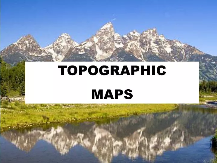
Topographic Maps. TOPOGRAPHIC MAPS. What are topographic maps?. Topographic maps- maps that show changes in elevation of Earth’s surface Elevation- distance above sea level. Also show mountains, rivers, forests and bridges. Contour Lines. Contour lines- connects points of equal elevation.

E N D
Topographic Maps TOPOGRAPHIC MAPS
What are topographic maps? • Topographic maps- maps that show changes in elevation of Earth’s surface • Elevation- distance above sea level. • Also show mountains, rivers, forests and bridges
Contour Lines • Contour lines- connects points of equal elevation.
What is a contour interval? • Contour interval- the difference in elevation between two side by side contour lines What is the difference in elevation between these two lines?
What are index contours? • Index Contours- contour lines that have marked elevations. • Can use them to find the contour interval Index Contours
Finding the Contour Interval Find the index contours. Determine the elevation difference between the two index contours 800 m – 700m = 100 m 3. Count the number of spaces between the 2 index contours. 5 4. Divide the elevation difference between the 2 index contours by the number of spaces. 100 m / 5 = 20 m.
Scale • Scale is the relationship between horizontal distance on the map and distance on the ground.
Do Worksheet 1-6 Contour mapping rules
1. A contour line represents a single equal elevation, all points on the contour line have the same elevation.
3. Where one closed contour line surrounds another, the inner contour line represents the higher elevation. Which line has the higher elevation?
4. Every 5th contour line is darker and has the elevation marked. These are index contours.
What is slope? • Slope- change in elevation over a given horizontal distance • Formula for slope Slope = change in elevation horizontal distance Which hill has a steep slope? Gentle slope?
5a. On a contour map, closely spaced lines indicate a steep slope.
5c. Uniformly spaced lines indicate a uniform (constant) slope. Notice that the contour lines for each are the same distance apart in each picture. There is the same change in elevation for each given distance.
6. A contour line that closes within the limits of a map indicates a hill, ridge or plateau.
6a. Highest possible elevation of a hill is just below the value of the next contour line that would be drawn. The last contour line drawn is 220 m. The next line would be 240 m. Since there is no 240 m line, the hill cannot be higher than 239 m.
7. Depressions are shown by small marks (hachures) pointing inward off the contour line. Elevation of the depression would be less than 140 m.
8. Where a contour line crosses a stream or valley, the contour bends to form a “V” to point upstream.
Exit Card Without looking at your notes, write two things you learned today. Write one question you have about topographic maps. It can be something that confused you or something you’d like more information about.