Download
1 / 8
80 likes | 221 Views
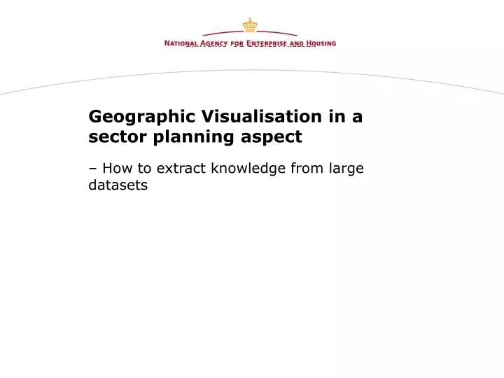
Geographic Visualisation in a sector planning aspect. – How to extract knowledge from large datasets. Geographic Visualisation in a sector planning aspect. Samo Olsen, Cand. Scient., Consultant National Agency for Enterprise and Housing Serving the minister and the parliament

E N D
Geographic Visualisation in a sector planning aspect – How to extract knowledge from large datasets
Geographic Visualisation in a sector planning aspect • Samo Olsen, Cand. Scient., Consultant • National Agency for Enterprise and Housing • Serving the minister and the parliament • Administering six national dataregistries containing real estate related data (WWW.OIS.dk)
Geographic Visualisation in a sector planning aspect • Introduction • The concept ”Geographic Visualisation” • Examples of ”Geographic Visualisation”
Geographic Visualisation in a sector planning aspect ”(…) one notes that ”information” has become synonymous with ”knowledge”, as if there were no significant distinction between the two (…)” [Theodore Roszak – The Cult of Information]
Geographic Visualisation in a sector planning aspect • Data is hard, factual information often in numerical form - it can tell you when, and how often something happened, how much it cost and so on but it does not say why it happened. • Information comes in the form of a message - and it is the receiver rather than the sender of the message who determines that it is information - through some communication channel whether voice, e-mail, letter, etc. It is different from data in that it has meaning or shape. In fact, data can be transformed into information with the addition of meaning. • Knowledge transcends both data and information in a number of ways. [Davenport & Prusak - Working Knowledge]
Geographic Visualisation in a sector planning aspect • Geographic Visualisation as a method for obtaining knowledge and insight in a subject (demographic geodata, real estate ect) • Preliminary exploration in data, before setting up a statistical model • Using it for communicating information
Geographic Visualisation in a sector planning aspect [MacEachren - Map use cube] [DiBiase – Explorative data analysis]