Download
1 / 34
530 likes | 1.38k Views
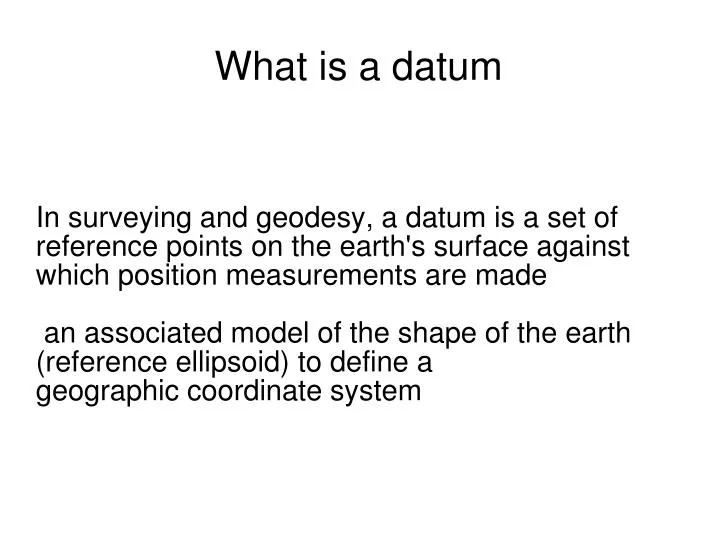
In surveying and geodesy, a datum is a set of reference points on the earth's surface against which position measurements are made an associated model of the shape of the earth (reference ellipsoid) to define a geographic coordinate system . What is a datum. Horizontal datum.

E N D
In surveying and geodesy, a datum is a set of reference points on the earth's surface against which position measurements are made an associated model of the shape of the earth (reference ellipsoid) to define a geographic coordinate system What is a datum
Horizontal datum Horizontal datums are used for describing a point on earth´s surface, in latitude and longitude or in another coordinate system
Local datum • Local coordinate reference frame • Parameters which fix the coordinate reference frame • Orientation • origin
Geodetic datum • Localization of three dimensional coordinate reference frame (reference ellipsoid) in relation to Earth • reference ellipsoid parameters • orientation of axis
Vertical datum -Vertical datums are related to height or dephts -definiton what is zero reference level and which way it is related to the earth
Geodetic latitude and longitude Latitude represents an angle north or south of the Equator while longitude represents an angle east or west from a arbitralily accepted reference, the Meridian, such as Bern, Ferro, Greenwich, Oslo, Paris .. Now Greenwich in global systems
System and frame • Coordinate reference system includes: • -Exact definition of system • -Orientation • -Reference ellipsoid • (ídeal)
Frame • Realisation of a system is called reference frame • -when points are realized, after measurements and computations we can say that we have a coordinate reference frame
International Terrestrial reference System • The international Terrestrial reference System is realized by the IERS through a global set of space geodetic observing sites • The geocentric Cartesian coordinates and velocities of the observing sites comprise the International Terrestrial reference Frame (ITRF)
ITRS • The stations participating in the ITRF carry out observations either continuosly or at certain time intervals • Permanent stations • Annual realizations of the ITRF are published by the IERS • Used techniques: VLBI, SLR, GPS
ETRS • The European Terrestrial Reference System 1989 (ETRS89) is a ECEF (Earth-Centered, Earth-Fixed) geodetic Cartesian reference frame, in which the Eurasian Plate as a whole is static. The coordinates and maps in Europe based on ETRS89 are not subject to change due to the continental drift.
ETRS89 • The development of ETRS89 is related to the global ITRS geodetic datum, in which the representation of the continental drift is balanced in such a way that the total apparent angular momentum of continental plates is about 0.
Beginning of the ETRS • ETRS89 was officially born at the 1990 Firenze meeting of EUREF, following its Resolution 1, which recommends that the terrestrial reference system to be adopted by EUREF will be coincident with ITRS at the epoch 1989.0 and fixed to the stable part of the Eurasian Plate
Relation between ETRS and ITRS • According to the resolution, this system was named European Terrestrial Reference System 89 (ETRS89). Since then ETRS89 and ITRS diverge due to the continental drift at a speed about 2.5 cm per year. By the year 2000 the two coordinate systems differed by about 25 cm
Satellite geodesy • The first global reference frame was the US-Department of Defense (DoD) World Geodetic System of 1960, then WGS66, WGS72 and since 1987 GPS has used WGS84 as a reference • But in science:...
GRS80 • Geodetic reference System 1980 • This system was adopted at the XVII General Assembly of the International Union of Geodesy and Geophysics (IUGG). • It is essentially the basis for geodetic positioning by the Global Positioning System and is thus also in extremely widespread use outside the geodetic community.
Parameters of the WGS84 ellipsoid • 1) Semimajor axis of the ellipsoid • 2) Zonal coefficient of second degree • (dynamic form factor) • 3) Angular velocity of the earth • 4) Earth's gravitational constant
1) a = 6378137 m 2) J2 = 1082630 x 10-9 3) ωE= 7292115 x 10-11 rad/s 4) GM = 3986005 x 108 m3s-2 Numbers of GRS80
dif WGS84 versus GRS80 ellipsoid • - semi-major axis or equatorial radius of the Earth is the same • -dynamic form factor a little bit different and causes slight difference in flattening • According to Hoffmann-Wellenhof difference is • 16 x 10-12 in flattening
WGS84 versus GRS80 • Because a is the same and f in WGS84 is 1:298.2572236 and f in GRS80 is 1:298.257222101 for practical purposes is the same which parameters is used
ETRS89 in Finland • Realization of ETRS89 was done in 1996-1997 in Finland • About 100 points were measured • After computation new realization was named EUREF-FIN, because epoch is different than in ETRF89 • During years 1998-1999 350 points added into the same reference frame
EUREF-FIN • Results of the EUREF-FIN campaigns were presented in the meetings of the Sub-commission for European reference Frame in 1998 Bad-Neuenahr and in 1999 in Prague • Accepted official EUREF-stations are for example 12 permanent stations
DATUM TRANSFORMATIONS • The reference frame of GPS is WGS84 • Many countries have their own realization of WGS84 • Surveyor is quite often using terrestrial points, which coordinates are in a local frame • Global system is geocentric system while local system is not • >Some transformations are required
Coordinate conversion • Denoting the Cartesian (rectangular) coordinates of a point in space by X,Y ,Z and assuming an ellipsoid of revolution with the same origin as the Cartesian coordinate system, the point can also be expressed by the ellipsoidal coordinates φ, λ and h
Relation between coordinates • X=(N+h)cosφcosλ • Y=(N+h)cosφsinλ • Z=(b^2/a^2)*N+h)sinφ
Relation between coordinates • One direct way transforming coordinates φ=arc tan(Z+e'^2bsin^3θ/p-e^2acos^3θ) λ=arctan(Y/X) h=(p/cosφ)-N • Where θ=arctan(Za/pb) and e'^2=(a^2-b^2)/b^2 is the second numerical eccentrity • N is the radius of curvature in prime vertical
Seven parameter transformation • Is also called 7-parameter Helmert transformation • Scale • Rotation of axes • Translation of the origin
Transformation methods • If coordinate systems are not homogenous, better fitting can be achieved via • Affine transformation • Affine transformations using triangles • Polynomial fitting • Bilinear interpolation especially when using big datasets (grid can be chosen)
Internet services • In Finland Finnish Geodetic Institute has made service in which finnish coordinates can be changed from one system into another • Also Finnish National Land Surveying Board has that kind of service • Also other European countries have such kind of service or according to INSPIRE
Designing a map projection • Firstly it should preserve any properties that the use of the map dictates • If you are measuring areas, projection is then equal area projection • If you navigate, the projection should be conformal • If you are surveying, then projection should be conformal
Designing a map projection • Working with map projections: • Existing projected coordinate system have to know • Projection method and associated parameters are needed → it is necessary define a suitable projection
Designing a map projection • Secodly a good projection is one that minimises the scale factor over the region • That is, scale factor should be near unity everywhere • This may influence of the choice of developable surface • Is the region longer in north-south or west-east direction?
Designing a map projection • In minimising the scale factor over the region, it may led to conclusion that area must split into zones • This is typical situation when large areas are mapped like one country • The graticule should be as simple as possible in some applications • Meridians should be parallel to each other in navigation
Designing a map projection • sometimes equal-area projection is needed (study area, statistical maps) • shape • shortest path • large scale - small scale