Download
1 / 9
90 likes | 277 Views
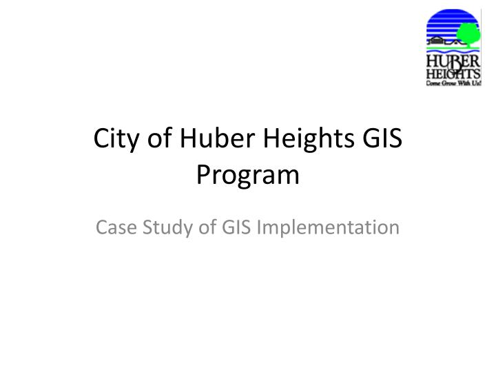
City of Huber Heights GIS Program. Case Study of GIS Implementation. Historical Overview. 2000 Montgomery County, MVRPC Aerial Orthophoto Project Huber Heights Council does not see need to participate

E N D
City of Huber Heights GIS Program Case Study of GIS Implementation
Historical Overview • 2000 Montgomery County, MVRPC Aerial Orthophoto Project • Huber Heights Council does not see need to participate • City of Huber Heights is LAST to PARTICIPATE, makes big effort to pay its part of project. • City receives its data, puts data in file cabinet for 3 years • Mid 2001 City hires Jones & Henry Engineering to make Aerial Orthophoto maps overlayed with Planimetrics • Mid 2003 City hires Engineering Technician • Late 2003 City hires GIS Consultants ARS Group and Spatial Marvels • Early 2004 City does Implementation Plan • Mid 2004 Work on City Utility Infrastructure and Public Safety GIS starts • Present Projects….
HHGIS • Software Being used by City of Huber Heights GIS Project: • ESRI ArcGIS Desktop 10 • Extensions: Network Analyst and 3D Analyst • ESRI ArcGIS Server Advanced 10 • ESRI ArcGIS Mobile • ESRI ArcPAD 10 • Adobe Flex Viewer for ArcGIS • SQL Server • Windows Server 2008R2 • Geographic Technologies Group GeoBlade Mobile (Police/EMS)
HHGIS GeoBlade Mobile
HHGIS GeoBlade Dispatch
HHGIS ArcGIS Server Web
HHGIS Adobe Flex for ArcGIS
HHGIS Questions / Comments ? Anthony Pagan GIS Technician City of Huber Heights 937-233-1423 apagan@hhoh.org Rob Bondurant ARS Group 937-877-6177 swogisrob@gmail.com Web Site Links: www.esri.com www.geotg.com