Download
1 / 13
140 likes | 293 Views
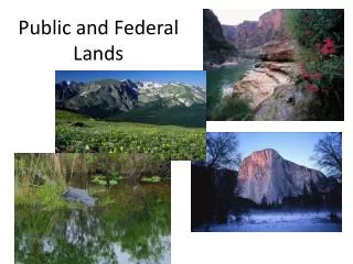
Mapping Federal Lands. Jeff Crocker: GIS Specialist, BLM California State Office. Background. BLM mapping efforts to date What is it we’re mapping? Who owns it? Who manages it? Who administers it? The Public Face vs. the Land Law View

E N D
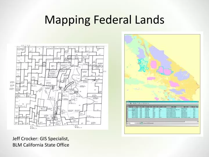
Mapping Federal Lands Jeff Crocker: GIS Specialist, BLM California State Office
Background • BLM mapping efforts to date • What is it we’re mapping? • Who owns it? Who manages it? Who administers it? • The Public Face vs. the Land Law View • Words with Friends: “Landstatus”, “Ownership”, “Surface Estate”, “Federal Management Layer”, “Surface Management Agency”…..SMA!
SMA Definition • The Surface Management Agency (SMA) Geographic Information System (GIS) dataset depicts Federal land for the United States and classifies this land by its active Federal surface managing agency. • A Federal surface land management agency refers to a Federalagency withadministrative jurisdiction over the surface of Federal lands.
SMA Foundation Foundational to the SMA data is the expectation that it topologically aligned where possible and appropriate with the official published version of Bureau of Land Management (BLM) Public Land Survey System (PLSS) Cadastral National Spatial Data Infrastructure (CAD NSDI) GIS Data
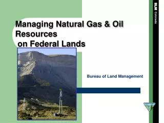
BLM SMA • BLM has jurisdiction over a particular category of Federal land known as “public land.” Public lands are specifically defined as any land or interest in land owned by the United States of America and administered by the Secretary of the Interior through the Bureau of Land Management. • The public lands include public domain lands (lands which have never left Federal ownership) and acquired lands. • Acquired lands, are those acquired through purchase, donation, or condemnation. • Lands acquired through exchange* are not considered acquired lands. This is important to distinguish, as lands acquired through purchase, donation, or condemnation are not subject to the general land laws, whereas lands acquired through exchange are. SMA includes exchanges.
SMA Existing CA Data Federal Surface Management Units Data
Successes • Assignment is scalable depending on the needs and/or wishes to maintain. • Tested in three states (California, Arizona and New Mexico) • Identifies a national awareness and strategies' for collaboration and reconciliation of Federal boundary data sets • Linking back to LR2000 data and source documents
Known Open Items • Updating and Maintaining the “Golden Copy” of the SMA ID • Updating Missing Values in Master Table • All Agencies Not Using GCDB and CADNSDI • All Agencies Not submitting Land Transactions to BLM for Recording Case Numbers • Refine and Define Data Elements and Entities (Case Type Group, Case Number) • Populating Acquisition, Disposal, Exchanges, Case Numbers • Create process to assist identifying the correct SMA ID • Implementation & Maintenance Plans Internal & External