Download
1 / 25
250 likes | 260 Views
Learn about map projections, air pressure, winds, climate comparisons, and hurricanes in this class. Understand how map projections work, different types of map projections like cylindrical and planar, global air circulation, ocean currents, and climate classification according to the Köppen system. Explore the formation of hurricanes from low-pressure centers, warm air rising, and the energy release from condensation.

E N D
Today’s class • Map projection leftovers • Air pressure and winds • Climate comparisons • Weather: hurricanes
Map projections • Project a round globe onto a flat surface • Options? • Stretch out some areas • Cut out some areas • Shrink some areas
Map projections • Three properties to consider • Area (equal-area or equivalent) • Shape (conformal) • Distance (equidistant) • Choosetwo out of three • How large an area? • Purpose of the map • Ulterior motives?
Cylindrical projections • Shapes are preserved • But not area! • Mercator projection • Deliberate distortion? • Cold War • Colonialism
Cylindrical projections: Gall- Peters • Also preserves area • Distorts shape differently • Adjusting Mercator for a more “just” map
Conic projections • Best for hemispheres or small regions • Area and shape only slightly distorted
Planar projections • Equidistant; good for navigation • Only good for one hemisphere • Distorts area, not shape
Other projections • Based on more complicated math • Interrupted, oval, combination Robinson Goode
Air pressure and winds • Air is a fluid • Warmer air is less dense • Air moves from dense to less dense conditions • Ex.: Land-sea breezes
Global air circulation • Equator receives most insolation • Hot air rises, heads towards poles • Air becomes heavy and sinks at 30°N and S • Plus the Coriolis effect
Warmer air “holds” more water • Low pressure=warm air=precipitation • High pressure=cold air=dry air
Ocean currents • Follow same circular pattern (driven by wind) • Warm currents flow away from equator, pile up on eastern shores • Gulf Stream, Brazil • Cold currents flow towards equator, cause upwelling • Humboldt/Peru, California
Climate classification • Temperature and precipitation • Köppen classification system • Nine types, plus highlands
Climate classification • Form groups according to climate • Verify your answers • Look at South America: find a city or country with your climate (Humid continental and subarctic/tundra, use North America—why?) • Explain how insolation, global air circulation, altitude, and land/water proximity make your place have the climate that it does
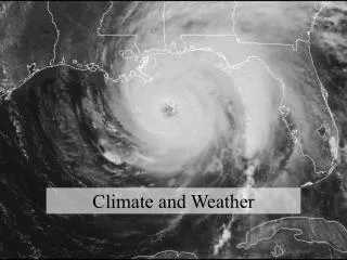
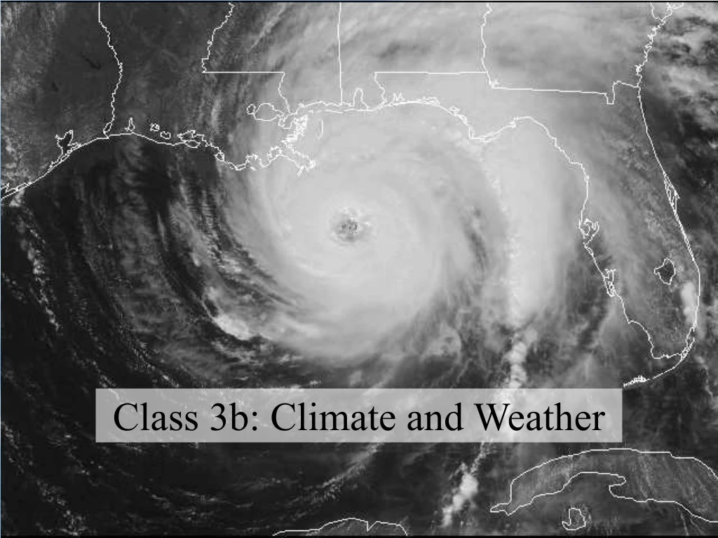
Weather: hurricanes • Start at low pressure centers • Warm air rises • Water evaporates with energy from sun • With condensation, energy is released