Download
1 / 9
90 likes | 298 Views
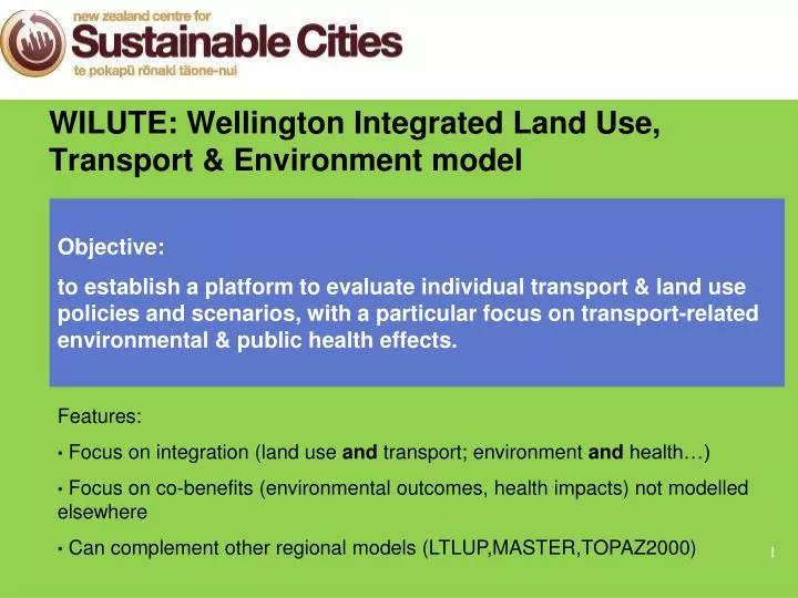
WILUTE: Wellington Integrated Land Use, Transport & Environment model. Objective: to establish a platform to evaluate individual transport & land use policies and scenarios, with a particular focus on transport-related environmental & public health effects. Features:

E N D
WILUTE: Wellington Integrated Land Use, Transport & Environment model Objective: to establish a platform to evaluate individual transport & land use policies and scenarios, with a particular focus on transport-related environmental & public health effects. Features: • Focus on integration (land use and transport; environment and health…) • Focus on co-benefits (environmental outcomes, health impacts) not modelled elsewhere • Can complement other regional models (LTLUP,MASTER,TOPAZ2000)
WILUTE: 4 key questions (to date) • How do current and future land use and transport policies affect economic activities and property development in the Wellington Region? • How does the development of the transport and land use system affect local air quality and public health in the region? • Can new transport infrastructure (e.g. new LRT, new cycling lanes) change the features of current transport modes and promote green transportation? • To what extent can transport pricing policies (e.g. car parking, oil price) reduce transport emissions and achieve public health co-benefits?
WILUTE: GIS based system Land use Economic activities Travel demand Transport networks Traffic loads Link emissions
WLUTE: Data scales Area unit level Meshblock level Parcel level Traffic zones Census data Houses and building data
WLUTE: Stage 1, Data collection and cleaning • Initial approach to data collection • Issues that arose • Christchurch earthquake • Data was not consistent across councils in terms of detail and recording methodology • Model would be limited to lowest common denominator Local councils and collect property and parcel databases along with roading/parking Government departments Use open source data (eg LINZ, Koordinates)
WLUTE: Stage 1, Data collection and cleaning So now using QV property data linked to parcel data CURRENT WORK • Cleaning and developing road network files • Linking QV dataset with parcel ID dataset • Grouping and simplifying QV dataset • Determining landuse split in parent-child arrangements • Mapping parking