Download
1 / 26
260 likes | 359 Views
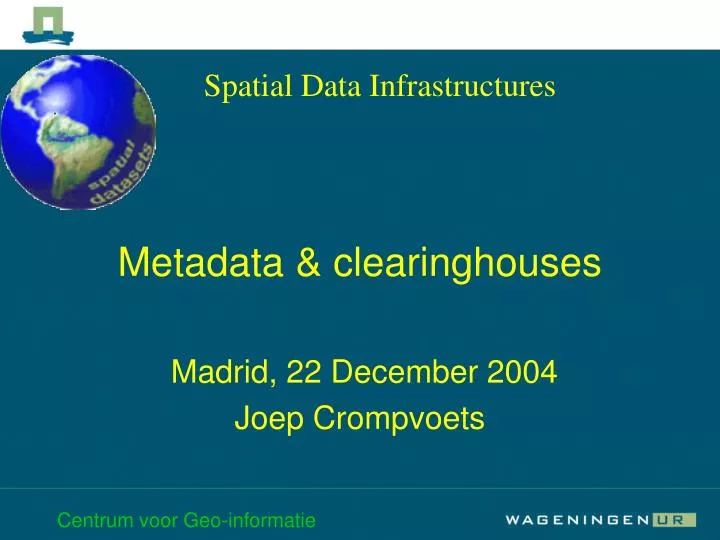
Spatial Data Infrastructures. Metadata & clearinghouses. Madrid, 22 December 2004 Joep Crompvoets. Overview Presentation. Metadata what is it ? what are the standards ? why is it difficult to organize ? A few remarks on Clearinghouses (Data catalogues). Metadata. Dsal.dat. 0 0 20

E N D
Spatial Data Infrastructures Metadata & clearinghouses Madrid, 22 December 2004 Joep Crompvoets Centrum voor Geo-informatie
Overview Presentation • Metadata • what is it ? • what are the standards ? • why is it difficult to organize ? • A few remarks on Clearinghouses (Data catalogues) Centrum voor Geo-informatie
Metadata Centrum voor Geo-informatie
Dsal.dat 0 0 20 1 0 15 5 0 35 10 0 45 75 0 30 . . . . . . Centrum voor Geo-informatie
Assignment Write down 3 characteristics that you would use to describe, to someone else, a spatial dataset. Centrum voor Geo-informatie
Metadata (data about data) Metadata information system National and International collection of metadata and data IS (clearinghouse) Book description (data about books) Library information system Metadata and Clearinghouses Centrum voor Geo-informatie
Why describe spatial datasets? • Manage (storage and change) • Search (content global ) • Exchange (format ) • Use (content details, Quality) Centrum voor Geo-informatie
Target groups • Personal (storage) • Own organisation (storage and content) • Other organisations (content, format, quality, contact person) Centrum voor Geo-informatie
Extent description • Target groups Functions • manage search exchange use • Personal + + - - • Own organisation ++ ++ ++ ++ • Other organisation - +++ +++ +++ Centrum voor Geo-informatie
How to describe ? • Personal standard • Organisational standard • (inter)national standards Centrum voor Geo-informatie
International standards • America (FGDC) • Europe (CEN) • ISO (2003 world) Centrum voor Geo-informatie
CEN meta-data standard Extent Identification Data definition CEN meta-data CEN meta-data Overview Classification Quality Administr. meta-data Spatial reference Meta-data reference Centrum voor Geo-informatie
NCGI data model Centrum voor Geo-informatie
ISO Standards and Technical Reports • ISO 6709:1983 Standard representation of latitude, longitude and altitude for geographic point locations • ISO 19101:2002 Geographic information — Reference model • ISO 19105:2000 Geographic information — Conformance and testing • ISO 19107:2003 Geographic information — Spatial schema • ISO 19108:2002 Geographic information — Temporal schema • ISO 19111:2003 Geographic information — Spatial referencing by coordinates • ISO 19113:2002 Geographic information — Quality principles • ISO 19115:2003 Geographic information — Metadata • ISO/TR 19120:2001 Geographic information — Functional standards • ISO/TR 19121:2000 Geographic information — Imagery and gridded data Centrum voor Geo-informatie
ISO 19115 • 1 General information • 2 History • 3 Data identification • 4 Spatial information • 5 Distribution • 6 Meta-information reference Centrum voor Geo-informatie
Conclusions • Describing spatial datasets with meta-data is essential to keep the data accessible in the future. • For (inter)national exchange the use of a standard is a must. • A problem with describing meta-data is that the personal requirements are less than the organisational requirements. Centrum voor Geo-informatie
Clearinghouses (Data catalogues) Centrum voor Geo-informatie
Banking 1775 London banker’s Clearinghouse Now national bank and IMF virtual market on the internet. The name clearinghouse Centrum voor Geo-informatie
What is a clearinghouse ? • A virtual market on the internet for spatial data. • A metadata information system. • With functions to search, to view, to download and to pay for spatial data. Centrum voor Geo-informatie
Clearinghouse technical concepts • Centralized (meta data in central database) • Decentralized (meta data in local databases and a central query structure) • Hybride system (part of the meta data central, part local) Centrum voor Geo-informatie
Conclusions • Large amount of spatial data will become available (by the internet) for GIS. • Spatial data infrastructures, clearinghouses and metadata play an important role in data delivery. • Knowledge of quality, concepts of metadata is essential to turn data into information. Centrum voor Geo-informatie