Download
1 / 28
280 likes | 304 Views
Explore detailed soil maps from the Laboratory of Soil Science, including vectorized images and classifications for countries like Rwanda, Burundi, and DR Congo. Get insights on parent material, texture, and drainage across different regions.

E N D
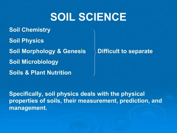
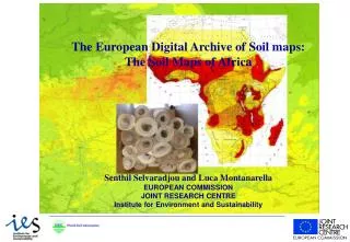
Soil Atlas of Africa Small-scale Soil Maps at the Laboratory of Soil Science Eric Van Ranst Laboratory of Soil Science
Overview image files (scans) vector maps Laboratory of Soil Science
Central African Soil Database : Regional 1) Soil map of the Belgian Congo & Ruanda-Urundi vectorised * 1:5 M * 1958-1959 (C. Sys) * INEAC classification ~ Soil Taxonomy Laboratory of Soil Science
Carte des Sols du Congo Belge et du Ruanda-Urundi
Central African Soil Database : Regional 2) Soil association map of Rwanda & Burundi * 1:1 M image * 1957 – 1961 (A. Van Wambeke) * INEAC classification Laboratory of Soil Science
Carte des Sols du Rwanda et du Burundi
Central African Soil Database : Regional 3) SOTER Central Africa (2007) vectorised * 1:2 M for DR Congo * 1:1 M for Rwanda, Burundi * WRB classification
Central African Soil Database : Rwanda 1) Soil map of Rwanda vectorised * 1:250,000 * 1992 * legend ~ parent material, development, texture, depth, drainage Laboratory of Soil Science
Central African Soil Database : Rwanda A . C 6 3 dominant: I.A3 secundary: G.K5.z tertiary: I.C4.gr association Laboratory of Soil Science
Central African Soil Database : Rwanda 2) Soil map of Rwanda * 1:50,000 * 2000 * 43 sheets * legend ~ parent material, development, texture, depth, drainage * soil profile classification ~ INEAC, USDA, FAO vectorised Laboratory of Soil Science
Central African Soil Database : Burundi 1) Soil map of Burundi * 1:250,000 vectorised * 1988 * soil classification ~ INEAC, USDA (1975), FAO (1975) Laboratory of Soil Science
Central African Soil Database : Burundi 2) Soil map of Burundi * 1:50,000 image * 2000 * 42 sheets * soil classification : great group & subgroup of the ISABU classification Laboratory of Soil Science
Central African Soil Database : DR Congo Soil maps realised between 1945 – 1960 by INEAC Soil maps realised after 1960 by Ghent University Coverage of about 15% vectorised image • digitalisation project is ongoing collaboration with UNIKIN and UNILU Laboratory of Soil Science
Central African Soil Database : DR Congo 1) Soil map of the Lower Congo and Kinshasa * 1:200,000 * 1991 * 8 sheets * cartographic legend ~ parent material profile development texture soil depth * soil profiles : INEAC, USDA (1975), FAO (1988) Laboratory of Soil Science
Central African Soil Database : DR Congo 2) Reconnaissance soil map of the Kwango * 1:1,000,000 * 1955 * 1 sheet, associations or complexes, INEAC 3) Reconnaisance soil map of the Kasai * 1:200,000 * 1958 * 2 sheets, associations of soil series ~ parent material & soil profile development Laboratory of Soil Science
Central African Soil Database : DR Congo 4) Soil map of the Upper Lulua * 1:1,000,000 * 1959 - 1960 * great groups ~ INEAC classification 5) Soil association map of the Upper Lulua – Dilolo * 1:200,000 * 1959 - 1960 * associations reporting parent material, development & texture Laboratory of Soil Science
Central African Soil Database : DR Congo 6) Reconnaissance soil map of Maniema * 1:250,000 * 1960 * 1 sheet, complexes, INEAC classification 7) Soil maps of the Kivu * 1:50,000 – 1:500,000 * 1950 - 1970 * 3 sheets Laboratory of Soil Science
Central African Soil Database : DR Congo 8) Soil maps of the Eastern Province * 1:40,000 – 1:200,000 * 1952 - 1959 * 8 sheets 9) Soil maps of the Equator * 1:50,000 – 1:100,000 * 1956 - 1968 * 8 sheets Laboratory of Soil Science
Other Soil Maps (image files) 1) Soil map of Cameroon image * 1:500,000 – 11 sheets (not published) * 1982 – 1990 (E. Van Ranst & J. Debaveye) * great group level (Soil Taxonomy) 2) Soil map of the Republic of Botswana image * 1:1M – 2 sheets * 1990 * soil group & 1 subgroup ~ FAO legend Laboratory of Soil Science
Other Soil Maps (image files) 3) Soils and physiography of Tanzania * 1:2M image * 1983 * FAO legend 4) Provisional soil map of Zimbabwe - Rhodesia * 1:1M image * 1979 - 2nd Edition Laboratory of Soil Science
Other Soil Maps (image files) 5) Soil map of the Republic of Zambia image * 1:500,000 * 1967 * legend ~ soil map Africa ‘63 6) Soil mapof theRepublic of Zambia image * 1:3M * 1983 * FAO legend Laboratory of Soil Science
Other Soil Maps (image files) 7) Soil map of Tunesia image * 1:1M 8) Soil map of Algeria image * 1:500,000 – 7 sheets 9) Soil map of the Arabic countries : North Morocco * 1:1M image Laboratory of Soil Science