Download
1 / 7
70 likes | 214 Views
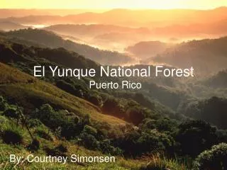
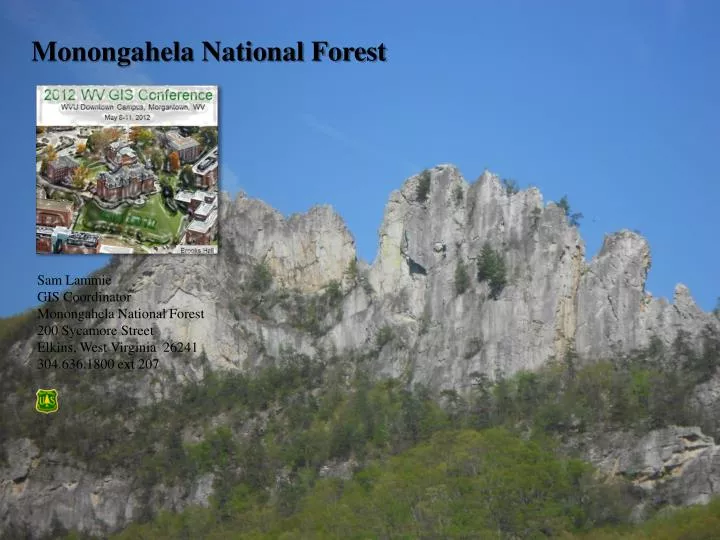
Monongahela National Forest. Sam Lammie GIS Coordinator Monongahela National Forest 200 Sycamore Street Elkins, West Virginia 26241 304.636.1800 ext 207. Monongahela National Forest Internal Projects Focus on Enterprise GIS Building Corporate GDBs Implementing Corporate applications.

E N D
Monongahela National Forest Sam Lammie GIS Coordinator Monongahela National Forest 200 Sycamore Street Elkins, West Virginia 26241 304.636.1800 ext 207
Monongahela National Forest Internal Projects Focus on Enterprise GIS Building Corporate GDBs Implementing Corporate applications Corporate File Geodatabases WV 2012 GIS Conference, Morgantown WV
Monongahela National Forest • External Projects • Corridor H proposed design from Kerens to Parsons Monongahela NF lands 7 segments, approx 6 miles WV 2012 GIS Conference, Morgantown WV
Monongahela National Forest • External Projects • MVUM – Motor Vehicle Use Map Updated annually (March 31) WV 2012 GIS Conference, Morgantown WV
Monongahela National Forest • External Projects • NEPA – Big Mountain WV 2012 GIS Conference, Morgantown WV
Monongahela National Forest • External Projects • Examples, by program area: • Aquatics – seasonal crew of 3; stream monitoring; Watershed Classification Framework (WCF) • Cultural – over 800 sites which we continually update • Ecology – initiating Terrestrial Classification Framework (TCF); various planting projects (over 10,000 seedlings) • Engineering – 1,700 miles of Forest roads • Fire – Prescribed burned over 2,000 acres this spring • Geology – currently no active Marcellous wells; 60+ active gas wells on Forest; 33% privately-owned minerals • Lands – 2011 Thunderstruck acquisition (1,200 acres) • Law Enforcement – ongoing support • Recreation – 17 picnic areas; 23 campgrounds; over 900 miles of hiking trails • Timber – currently cutting approximately 8.5 million board feet • Wildlife – Threatened and Endangered Species (T&E); Grouse Management Areas WV 2012 GIS Conference, Morgantown WV
Monongahela National Forest • Other Items of Note • Geospatial and Service Technology Center (GSTC) in Salt Lake • Currently updating the US Forest Service quads (FSTOPO) (revised completed date of September 30, 2013) and the Forest Visitor Map (revised completion date of September 30, 2013) • Active volunteer program (Americorps, Davis & Elkins, other) • Collaborative Projects and Agreements • with TNC, WV DNR, • National Wild Turkey Federation, • Ruffed Grouse Society, • The Mountain Institute, • US DOI Canaan Valley NWR, • US Fish and Wildlife Service, • West Virginia University WV 2012 GIS Conference, Morgantown WV