Download
1 / 13
130 likes | 277 Views
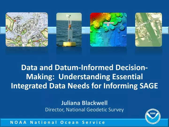
Data and Datum-Informed Decision-Making: Understanding Essential Integrated Data Needs for Informing SAGE. Juliana Blackwell Director, National Geodetic Survey. NOS Organization. *. Observe & Monitor. Management & Decision Making. Spatial Analysis & Visualization. Applied Research.

E N D
Data and Datum-Informed Decision-Making: Understanding Essential Integrated Data Needs for Informing SAGE Juliana Blackwell Director, National Geodetic Survey
Observe & Monitor Management & Decision Making Spatial Analysis & Visualization Applied Research Education & Outreach Models & Predictions Information Transfer Science Service Stewardship NOS activities could support the SAGE concept in a variety of ways
Precise Navigation, Water Level, Mapping, and Positioning Services Coast Survey Geodetic Survey Operational Oceanographic Products & Services 6
Research, Tools, and Technical Services Ocean Observing Coastal Services Response & Restoration Coastal Science 7
Management of Coastal and Marine Places National Marine Sanctuaries Ocean & Coastal Resource Management 8
Integrating NOAA Tools and Models for Informing Coastal Management Decisions • Water level data • Geodetic data • Geophysical data • Models • Transformations • GIS applications • Subsidence/crustal movement
Vertical Water Levels Positioning - Integration GPS Horizontal Datums "A set of constants specifying the coordinate system used for geodetic control, i.e., for calculating the coordinates of points on the Earth." CORS NADCON VDatum, GRAV-D
CORS/SETs/Tide Stations /Benchmarks Survey control monuments Continuously Operating Reference Stations (CORS) Land Elevation Trend -1.1mm/yr Local Sea-Level Rise 3.29 mm/yr Surface Elevation Tables (SETs) Wetland elevation dynamics Long term tide stations Local Marsh Trajectory - 2.1mm/yr
NOAA’s Coastal Mapping Program Supports: • NOAA nautical charts • Some other important applications: • Used in defining the United States’ territorial limits • Coastal resource management (Coastal and Marine Spatial Planning) • Storm surge and coastal flooding modeling • Coastal geomorphology studies • Archaeology CMP Goal: Provide the Nation With Accurate, Consistent, Up-to-Date National Shoreline
Impacts of Coastal Development on Marine Ecosystem and Human Health Contamination of seafood and beaches Impaired ecosystems Altered hydrography and increased flooding
Mobile Bay Project NOAA in Mobile Bay Leading the way to better science, more data, and integrated tools
NOAA’s Sentinel Sites: Where Science and Management Meet