Download
1 / 20
200 likes | 342 Views
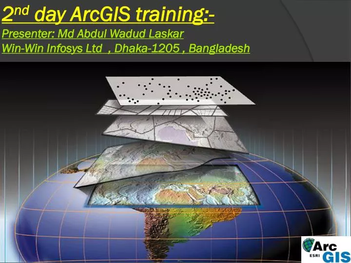
2 nd day ArcGIS training:- Presenter: Md Abdul Wadud Laskar Win-Win Infosys Ltd , Dhaka-1205 , Bangladesh. Training Overview. >Topics :- Georeferencing Google Eearth Images Digitizing on Google Map( road , line,point & polygone ) KML/KMZ file conversion to ArcMap

E N D
2nd day ArcGIS training:- Presenter: Md Abdul WadudLaskarWin-Win Infosys Ltd , Dhaka-1205 , Bangladesh
Training Overview >Topics :- • Georeferencing Google Eearth Images • Digitizing on Google Map( road ,line,point & polygone) • KML/KMZ file conversion to ArcMap • KML/KMZ file conversion to Shapefile • Shapefile conversion to Google Earth • Data information from Google Eaarth • DEM analysis(Hill-shade, Slope, Aspect) • Grid Map on Raster data • Grid Map on Vector data • Any questions please ?
DEM analysis in ArcGis10 : Hill-Shade, Slope & Aspect
Grid Map on Raster data:-Graticule: Divided map by meridians and parallels.
Grid Map on Vector data:-Measured Grid: Divides map into a grid of map Units.