Download
1 / 60
600 likes | 813 Views
Climate, Climate Change Nuclear Power and the Alternatives. Climate, Climate Change Nuclear Power and the Alternatives. PHYC 40050 Peter Lynch Meteorology & Climate Centre School of Mathematical Sciences University College Dublin. Water in the Atmosphere. Lecture 3. MOISTURE.

E N D
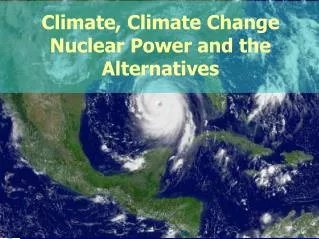
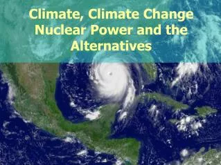
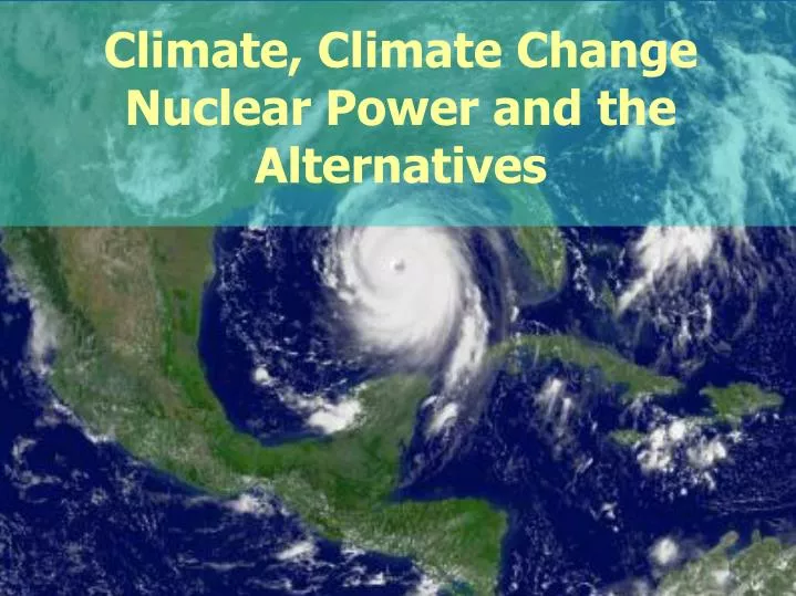
Climate, Climate Change Nuclear Power and the Alternatives
Climate, Climate Change Nuclear Power and the Alternatives PHYC 40050 Peter Lynch Meteorology & Climate Centre School of Mathematical Sciences University College Dublin
Water in the Atmosphere Lecture 3
MOISTURE • • Water vapor constitutes only a small fraction of the atmosphere. • • Varies from 0% to about 4% • • Water is probably the most important • gas in the atmosphere for understanding atmospheric processes. • The source of atmospheric water is evaporation
Satellite picture of clouds over North America, 9 January, 1998
Crumpled steel electrical transmission towers – Canada, January, 1998 p. 83
Sequence of events leading to saturation of water vapour in air
OBSERVATIONS OF VAPOUR PRESSURE AS A FUNCTION OF TEMPERATURE
HUMIDITY • Humidity describes the amount of water vapor in the air. • Humidity is described quantitatively as vapour pressure, absolute humidity, mixing ratio and relative humidity. • Saturation is achieved when the number of water vapor molecules leaving a water surface is equal to the number returning from the atmosphere to the water surface.
HUMIDITY • Saturation vapour pressure is the pressure exerted by the water vapour at saturation. • Absolute humidity is the mass of water per unit volume . Units are usually grams per cubic meter. • Mixing ratio is the mass of water vapor in an unit mass of air. Usually in grams per kilogram. • Relative humidity is the actual amount of water vapour in the air over the amount of water vapour required for saturation.
When the temperature of the air around this web cooled to the dew point temperature, dew formed, making the web more visible
RELATIVE HUMIDITY • Relative humidity changes as daily temperature changes. • It changes from one location to another. • It changes when air moves vertically in the atmosphere. • Daily variation of temperature and relative humidity • However the water vapour content of the air can stay the same. • Dew point is the temperature at which water vapour will condense out of the atmosphere – frost point.
CONDENSATION AND DEPOSITION • Curvature effect – even if air is saturated over a flat surface, it may not be for a curved surface. • Supersaturation – relative humidity can be above 100% without condensation • Nucleation – droplets usually form around particles – condensation nuclei. • Condensation nuclei can be hydroscopic or hydrophobic. • Ice nuclei.
FOG FORMATION • Fog defined as a cloud with its base at or near the ground. • Fogs result when air is cooled or by the addition of water vapour to cause saturation. • Radiation fog – cooling of surface by emission of thermal radiation.
FOG FORMATION • Advection fog – warm and moist air blown over a cool surface. Needs turbulence at the surface. • Evaporation/steam fog – air picks up additional water over water surfaces. • Upslope fog – air is cooled as it flows up a slope.
Lifting Mechanisms that form Clouds Air raised to the Lifting Condensation Level (LCL) becomes saturated. • Orographic lifting • Frontal lifting • Convection • Convergence
“The Cloud” – Percy Bysshe Shelley I am the daughter of Earth and Water, And the nursling of the sky I pass through the pores of the ocean and shores; I change but I cannot die. For after the rain when with never a stain The pavilion of Heaven is bare, And the winds and sunbeams with their convex gleams Build up the blue dome of air, I silently laugh at my own cenotaph, And out of the caverns of rain, Like a child from the womb, like a ghost from the tomb, I arise and unbuild it again.
HIGH CLOUDS • Above 6000 meters • Three main types • Cirrus - detached clouds composed of delicate icy filaments, have some vertical extent (mares’ tails) • Cirrostratus - transparent cloud veil - produces a halo around the sun or moon. • Cirrocumulus - very small cells or ripples - mackerel sky • High clouds can be a portend of stormy weather • Mackerel scales and mares' tails make tall ships carry low sails
MIDDLE CLOUDS • 2000 to 6000 meters. • Composed of water droplets • Altocumulus - large patches composed of rounded masses or rolls. • Altostratus - formless layer of grayish clouds covering all or a large portion of the sky
Cumulonimbus Towering Cumulus
PRECIPITATION GROWTH • Cloud droplets are typically 10 microns in size. Small raindrops are typically 1000 microns (~almost one million droplets) • Raindrops grow by two processes • (1) Collision-coalescence – warm clouds. • (2) Bergeron process – cold clouds. • In the Bergeron process snow/ice crystals are formed – mid-latitude clouds • Rain at mid-latitudes is the result of the melting of the snow/ice as it descends to temperatures above zero
FORMS OF PRECIPITATION • Rain - droplets of water greater than 0.5 mm in diameter. Droplets smaller than 0.5 mm called drizzle. • Much rain starts out aloft as ice crystals. • Snow - ice crystals. If air is cold (low humidity), we get light and fluffy snow (powder). If air is warm than about -5ºC, then we get wet snow (good for snowballs). • Sleet - small particles of ice. Raindrops encounter freezing air on descent. If freezing not complete - freezing rain. • Hail - layers of ice form as the hailstorm travels up and down in a strong convective cloud. • Rime - formed by freezing of supercooled fog on objects.