Download
1 / 33
330 likes | 454 Views
Introduction to Digital Data and Imagery. Data Models, Pixels, and Bands. Data Models: Raster vs . Vector Data. Raster Data Images are grids of cells or “pixels” Each pixel is represented by number called the digital number (DN) A pixel represents an area on the ground. Vector Data

E N D
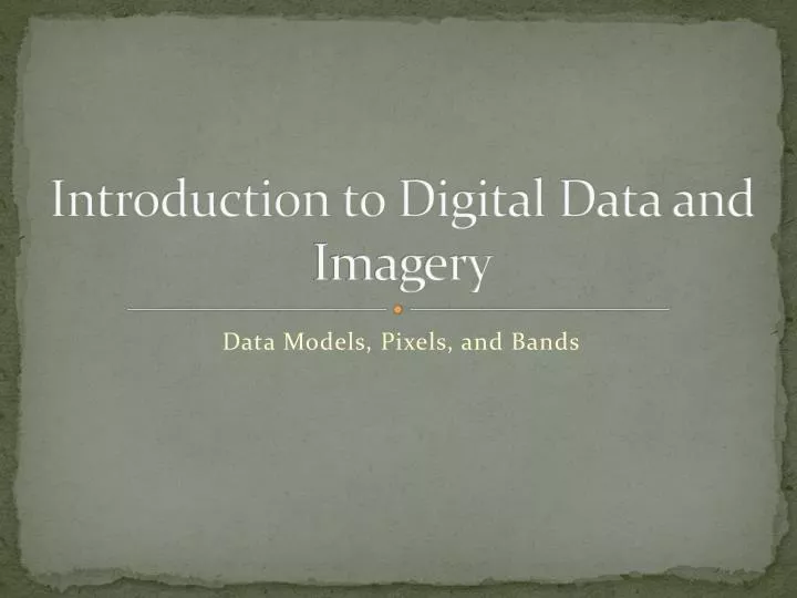
Introduction to Digital Data and Imagery Data Models, Pixels, and Bands
Data Models: Raster vs. Vector Data • Raster Data • Images are grids of cells or “pixels” • Each pixel is represented by number called the digital number (DN) • A pixel represents an area on the ground • Vector Data • Points, lines, and areas • Defined by x,ycoordinates and info about “connectedness” • Attributes can describe the features they represent
Vector Features Point Raster Grid w/ DNs Line or Arc Area or Polygon
Data Model • Imaginary matrix (row & column format) is placed on the feature (e.g., the ground) • Some phenomenon (e.g. amount of light) is measured • A value (digital number) representing the amount of light is assigned to each grid cell (pixel).
32 47 67 93 11 105 79 136 155 35 23 55 213 179 203 163 63 11 145 245 89 211 189 56 201 43 202 21 122 109 Raster data
Real world >>> Raster value • For remote sensing, the average amount of EMR from the area of a pixel on the ground is recorded as a digital number (DN). • Depending on the average intensity of the EMR a numeric value is assigned to each pixel • Low or None - Lowest value (dark) • High - Maximum value (bright) • Others - Scaled in between (gray)
Digital Image Data • Digital images are matrices of digital numbers (DNs). • There is one layer (or matrix) for each satellite band • Each band covers the same area on the ground • Each DN corresponds to one pixel in one band • If there are 6 bands each pixel will be described by 6 DNs, one for each band • The DNs control how a computer renders an image on your computer screen
Images are presented as 2-d grids. Each pixel (one square) has a location (x,y). • Position of pixel (x,y) often describe in terms of rows and columns but can be translated (projected) into other coordinate systems (e.g., latitude/longitude, UTM, etc.) F(2,3) F(4,1)
What are digital numbers (DNs)? • DNs are relative measures of radiance • DNs are NOT reflectance • DNs can be converted to ground reflectance if you know atmospheric properties, etc. • The range of DNs depends on the radiometric resolution of the recording instrument • A common range of DNs is 0 – 255.
Types of Resolution • Spatial • Spectral • Radiometric • Temporal
Spatial Resolution • The dimension of one side of a single pixel • The extent of the smallest object on the ground that can be distinguished in the imagery • Determined by the Instantaneous Field of View of satellite instruments (IFOV) • Determined by altitude, camera (lens), and film characteristics for air photos.
Raster grid size finer Coarser
Available Resolution • Satellites: ~ .61 m to > 1 km • Air photos ~ <0.6 m to large.
Satellite data resolution • MODIS: 250 - 1000 m • Landsat MSS: 80 m • Landsat TM5, 7, 8: 30 m • SPOT: 20 m • ASTER: 15m • IRS Pan: 5 m • Quickbird Pan: 0.6 m
Quickbird (Digital Globe, Inc.) ~ 2.4 m spatial resolution in multispectral bands.
MODIS 500 m spatial resolution
So…what about in the movies? Zoom and Enhance! (YouTube) Group discussion: Can you extract (zoom and enhance!) information from an image when the information is in an area smaller than a pixel? The Truth!
Spectral Resolution • How finely an instrument “divides up” the range of wavelengths in the electromagnetic spectrum • How many spectral “bands” an instrument records
Case 1 • Measure the EMR across a wide range • E.g., the visible portion of EMR • Assign a single DN for sum of all visible light energy hitting the sensor • Analogous to black and white (panchromatic) film
green blue red UV Near-infrared 0.4 0.5 0.6 0.7 Case 1
Case 2 Measure EMR across narrower ranges E.g., Blue, green and red bands Assign a DN for each of these wavelength ranges to create 3 bands
green blue red UV Near-infrared 0.4 0.5 0.6 0.7 Case 2
Red Green Blue Coarser (lower) Spectral Resolution RGB Finer (higher) Spectral Resolution
High Spectral Resolution Reflectance Wavelength (nm) Low Spectral Resolution Reflectance Wavelength (nm)
Summary • Remotely sensed imagery are RASTER data composed of grids of pixels organized in bands (layers) • Size of pixels is called spatial resolution of sensor • Number of bands is called spectral resolution of sensor • Digital numbers are associated with pixels and tell you relatively how much light came from that area on the ground to the satellite sensor.