Download
1 / 22
220 likes | 383 Views
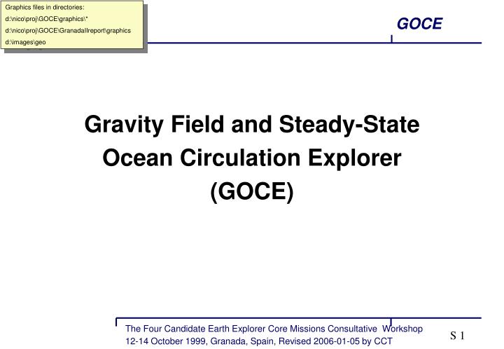
Graphics files in directories: d:<br>icoprojGOCEgraphics* d:<br>icoprojGOCEGranadaIIreportgraphics d:imagesgeo. Gravity Field and Steady-State Ocean Circulation Explorer (GOCE). Issues of Concern. Ice Sheet Melting. Earthquakes & volcanic activities. Thermohaline

E N D
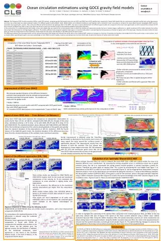
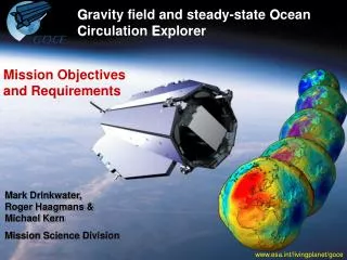
Graphics files in directories: d:\nico\proj\GOCE\graphics\* d:\nico\proj\GOCE\GranadaIIreport\graphics d:\images\geo Gravity Field and Steady-State Ocean Circulation Explorer (GOCE)
Issues of Concern Ice Sheet Melting Earthquakes & volcanic activities Thermohaline ocean circulation & heat transport Sea level change Global unification of height system
International Programme • International Lithosphere Programme (ILP) • Int. Decade of Natural Disaster Reduction (IDNDR) • International Association of Geodesy (IAG) • World Climate Research Programme (WCRP) • - GEWEX • - WOCE/CLIVAR • - GCOS/GOOS • - ACSYS/CLIC • International Geosphere/Biosphere Program (IGBP) • - LOICZ • Intergovernmental Oceanographic Commission (IOC) • - GLOSS Earthquakes and Volcanic Activities Global Unification of Height System Thermohaline Ocean Circulation and Transport of Heat. Ice Sheet Melting Sea Level Change
Research Goals • Solid Earth Physicsanomalous density structure of lithosphere and upper mantle • Oceanographydetermination of dynamic ocean topography • Ice Sheetsimproved knowledge of ice sheet balance • Geodesyunified height systems, “levelling by GPS” • and from the above improved Sea Level Change Studies
Mission Objectives • determine the Earth’s gravity field with an accuracy of • 1 mgal (1 mgal = 10-5 m/s2 ) • determine the geoid (= equipotential surface for a hypothetical ocean at rest) with an accuracy of 1 cm • achieve this at length scales down to L = 100 km • (degree and order 200)
Presentation Outline • Mission Rationale • Science & Application • Mission Design • Performance • Conclusions
Mission Rationale Limitations of Existing Gravity Field Data • terrestrial gravity anomalies • large unsurveyed areas, heterogeneous data, offsets and biases • geoid mapping via satellite altimetry • not acceptable for oceanography • satellite orbit analysis • - only large spatial scales are satisfactory - heterogeneous data • - error correlation
gravdensBGI.gif Mission Rationale Incomplete Data Coverage
ALTIMETRY terrain GEOID geoid_altim2.ppt Mission Rationale Limitation with Satellite Altimetry
egm.bw.eps Mission Rationale Signal Accuracy versus Spatial Scales
Mission Rationale Spaceborne Gravity Field Methods • Satellite-to-Satellite Tracking in High-Low Mode • SST-hl • Satellite-to-Satellite Tracking in Low-Low Mode • SST-ll • Satellite Gravity Gradiometry • SGG
GPS - satellites 3-D accelerometer Earth mass anomaly sst_hl.eps Mission Rationale SST - hl SST - hl
GPS - satellites SST - hl Earth mass anomaly sst_ll.eps Mission Rationale Combined SST - ll and SST - hl SST - ll
GPS - satellites SGG Earth mass anomaly gradiometry.eps Mission Rationale Combined SGG and SST - hl SST - hl
Mission Rationale Gravity Field Satellite Design Criteria • Orbit as low as possible and near polar • Uninterrupted tracking in 3-D • Isolation of gravitational signal • Amplification of gravitational signal by principle of differentiation
Mission Rationale GOCE versus Design Criteria • Orbit altitude 250 km and sun-synchronous (inc.= 96.5˚) • Uninterrupted and 3-D high-low tracking with GPS satellites relative to ground network • Drag-free system and elimination of residual drag common mode rejection • Gravity signal amplification by gradiometry (differential accelerometry) • in addition: all component gradiometer
goce_eqn.jpg Mission Rationale Full Tensor Gradiometer Measurements acceleration differentiation gravity gradient angular acceleration angular velocities
satellit.ppt Mission Rationale Instrument Concept angular forces translational forces * GPS/GLONASS SST -hl star sensors * A B GRAVITY GRADIOMETER measures: GRAVITY GRADIENTS angularaccelerations common mode accelerations angularcontrol dragcontrol
CGG_fill_bw.eps CGG_plainx.eps CGG_overlayx.eps Mission Rationale Uniqueness SGG achieves highest attainable resolution SGG and SST-ll are complementary
vik.bw.eps Mission Rationale The 3-D structure of the Gravity Field
Mission Rationale The 3 -D structure of the Error Coefficient
GIGGOS.doc (.eps) Mission Rationale The Interdisciplinary Research Solid Earth Physics Earth System Model - ocean - ice sheet - lithosphere - mantle - core Geodesy Sea Level Change Cryosphere Oceanography