Download
1 / 31
310 likes | 330 Views
Explore the world of maps, from basic definitions to intricate cartography methods. Learn the importance of scale, classification, and simplification in map-making. Gain insights into the art and science of creating maps.

E N D
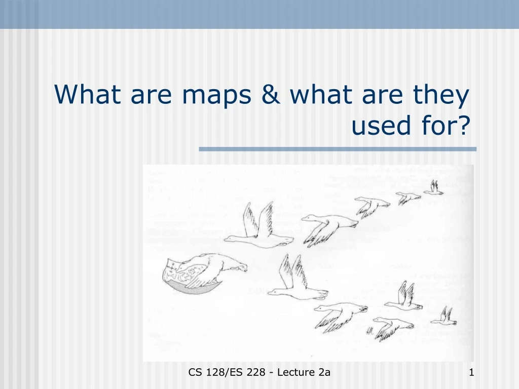
What are maps & what are they used for? CS 128/ES 228 - Lecture 2a
Early mental maps are egocentric CS 128/ES 228 - Lecture 2a
Where would you like to live? CS 128/ES 228 - Lecture 2a
The geocentric map concept Based on: • four cardinal directions • angles and distances • Directions to campus • It is easiest to approach campus from Route 17 (now called I-86). Take exit 24 (marked "Allegany - St. Bonaventure University"). At the end of the ramp, turn south (left if coming from Rt. 17 West, right if from Rt. 17 East). Drive about 1/2 mile to a "tee". • At the tee, turn left onto Route 417. Drive just over 2 miles, through the village of Allegany and across a high bridge over railroad tracks. Campus is visible to the right. • Immediately at the end of the bridge take the first right onto College Road (if you get to the traffic light, you've gone slightly too far. Turn around and return to College Road). Take the second left into a the parking lot marked at the bottom of the map. CS 128/ES 228 - Lecture 2a
What is a map? • “Art is a lie which makes us realize the truth.” P. Picasso • “So is a map.” P. Muehrcke(Map Use. 2nd ed. 1986) • “A map is a spatial model, an attempt to depict selected aspects of a portion of Earth’s surface on a flat plane.” T. Georgian CS 128/ES 228 - Lecture 2a
Warning!!! “Map and reality are not, cannot be identical. No aspect of map use is so obvious yet so often overlooked. Most map reading mistakes occur because the user forgets this vital fact and expects a one-to-one correspondence between map and reality.” P. Muehrcke (p. 19) CS 128/ES 228 - Lecture 2a
How does a map differ from reality? • Size • Dimensionality • Amount of detail • Symbolic presentation • Static vs. dynamic • ??? CS 128/ES 228 - Lecture 2a
What about aerial photographs? Aren’t they realistic? CS 128/ES 228 - Lecture 2a
Cartography: the art & science of creating maps CS 128/ES 228 - Lecture 2a
Selection Classification Simplification Exaggeration Symbolization See textbook, Box 2.3 (p. 26) for a different list 5 steps of cartography: CS 128/ES 228 - Lecture 2a
1. Selection Depends on: • Data availability • Size and scale of map • Purpose CS 128/ES 228 - Lecture 2a
Selection: scale • One of the most important choices – determines what can or cannot be included in the map CS 128/ES 228 - Lecture 2a
Representing a map’s scale • Scale ratio 1:24,000 • Coverage 7 ½ minute topographic quadrangle • Scale line CS 128/ES 228 - Lecture 2a
Large and small scales • Large scale: a given feature looks large • Small scale: a given feature looks small CS 128/ES 228 - Lecture 2a
The dilemma of scale • Small scale maps lack detailLarge scale maps lack range (coverage) • The dilemma can be alleviated somewhat by: - inset maps - locator maps -- CS 128/ES 228 - Lecture 2a
Inset maps • User must dealwith multiplescales • Rule: the insetalways ends justshort of the point of interest CS 128/ES 228 - Lecture 2a
Selection: coverage • State maps minimize details in adjacent states • Topographic maps omit detail in urban areas CS 128/ES 228 - Lecture 2a
Selection: time frame • Maps are essentially snapshots • Two rules:1. Every map should be dated!!2. Don’t trust the dates CS 128/ES 228 - Lecture 2a
2. Classification • Continuous vs. discrete features • There are many ways to represent continuous features on a map • Beware of the boundaries – they’re not real CS 128/ES 228 - Lecture 2a
Classification issues • How many classes to use? • How to set class limits? CS 128/ES 228 - Lecture 2a
How many classes to use? Dichotomous scale: • Each class quite heterogeneous • Placement of boundaries is extremely sensitive to data density & quality CS 128/ES 228 - Lecture 2a
How many classes to use? Multi-class scale: • Classes more homogeneous • Large number of classes hard to interpret Note: density of symbols should match the quantitative order of the classes CS 128/ES 228 - Lecture 2a
How to set class limits? 1. Constant intervals CS 128/ES 228 - Lecture 2a
How to set class limits? 2. Equal class frequency CS 128/ES 228 - Lecture 2a
How to set class limits? 3. Natural breaks in distribution CS 128/ES 228 - Lecture 2a
3. Simplification Begins with choice of scale and number of classes Other issues: • Reduced dimensionality of line or area features • Smoothing lines and boundaries • Aggregation CS 128/ES 228 - Lecture 2a
Reduced dimensionality CS 128/ES 228 - Lecture 2a
Smoothing lines and boundaries The blues lines are from a digitized U.S.G.S. 7 ½ min topographic map. Note how the channel of Fourmile Creek been smoothed. CS 128/ES 228 - Lecture 2a
Aggregation • Like smoothing, but refers to scale of spacing of objects CS 128/ES 228 - Lecture 2a
4. Exaggeration Why, given scale limitations, would map makers make features or labels larger? • Make symbols visible • Separate features and symbols CS 128/ES 228 - Lecture 2a
5. Symbolization Issues: • Realistic vs. abstract symbols • Size, texture, and density • Use of color CS 128/ES 228 - Lecture 2a