Download
1 / 9
90 likes | 123 Views
"In this activity, students will identify and name the seven continents and four oceans, sketch and label maps, and learn about the earth's land and water composition. The seven continents include Asia, Africa, North America, South America, Europe, Australia, and Antarctica. The four oceans are the Pacific Ocean, Atlantic Ocean, Indian Ocean, and Arctic Ocean. Engage students in understanding global geography with this interactive lesson!"

E N D
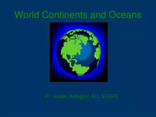
Continents and OceansIntroduction Grade 6R
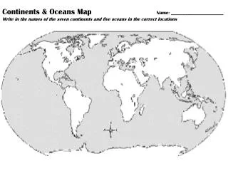
In this activity you will: • Identify and name the seven continents • Identify and name the four oceans • Sketch and label a map of each
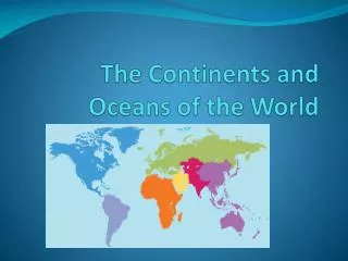
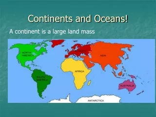
The Continents • About one third of the earth is made up of land areas. • The large land areas are called continents. • There are seven continents.
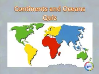
The Seven Continents • The seven continents are Asia, Africa, North America, South America, Europe, Australia, and Antarctica.
The Seven Continents North America Europe Asia Africa Australia South America Antarctica
Oceans • About two thirds of the earth is covered by water. • Oceans are the largest areas of water on the earth. • There are four oceans.
Oceans • The four oceans are the Pacific Ocean, the Atlantic Ocean, the Indian Ocean, and the Arctic Ocean.
The Four Oceans Pacific Ocean Arctic Ocean Atlantic Ocean Indian Ocean
My Country Location • My country is located on the continent of ______________ • My country is surrounded by, adjacent to, or closest to the ocean(s) of _______________