Download
1 / 21
220 likes | 239 Views
Develop an open web mapping app for Santa Clara Valley Water District using ESRI software and Open Standards to improve data accessibility and analyze data through GeoServer and OpenLayers. Anticipate better understanding of open software viability.

E N D
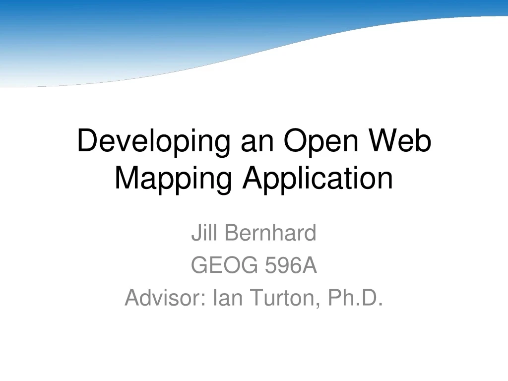
Developing an Open Web Mapping Application Jill Bernhard GEOG 596A Advisor: Ian Turton, Ph.D.
Project Proposal • Background • Goals and Objectives • Proposed Methodology • Project Timeline • Anticipated Results
Background:Santa Clara Valley Water District • Santa Clara County: fourth largest population in the state (Los Angeles, San Diego, Orange). • What does the District do? • Clean, reliable drinking water. • Flood protection. • Healthy creeks and ecosystems.
Background:Current Data Distribution Interface http://www.valleywater.org/services/GIS.aspx
Background:Web-Based Application GIS Database Map Server Client
Background:ESRI Software Solutions • A large investment has been made in ESRI software, including ArcIMS and ArcGIS Server. • Technical issues with the new technology (ArcGIS Server) have prevented putting applications into production. • Shrinking budgets may soon force a reduction in the amount we spend of software licenses.
Background:Commercial Services • Examples: Google Maps, Yahoo! Maps. • Familiar to most people. • Easy-to-use. • Free (under certain conditions). • Little warning about changes.
Background:Open Standards and Software Defined • Open Standards (Bruce Perens) • Availability • Maximize End-User Choice • No Royalty • No Discrimination • Extension or Subset • Predatory Practices • Open Software • Source code available.
Background:Open Geospatial Consortium (OGC) Standards • Geography Markup Language (GML) • Keyhole Markup Language (KML) • Styled Layer Descriptor (SLD) • Web Map Service (WMS) • Web Feature Service (WFS)
Background:Open Standards and Software Advantages • Many free options available. • Often easy to implement. • Slow to change.
Background:Open Standards and Software Disadvantages • Negative perception. • “No such thing as a free lunch.” • “You get what you pay for.”
Goals and Objectives • Data Standardization • Geo-Web: "a distributed network of interconnected geographic information sources and processing services" (Lake, Burggraf, Trninic, & Rae, 2004). • Review the viability of Open Standards and Software
Proposed Methodology:Database • PostgreSQL (http://www.postgresql.org) • PostGIS (http://postgis.refractions.net)
Proposed Methodology:Server • GeoServer (http://geoserver.org) • Java Development Kit (http://java.sun.com) • Apache Tomcat (http://tomcat.apache.org)
Proposed Methodology:Services • Web Map Service (WMS) • Web Feature Service (WFS)
Proposed Methodology:Clients • OpenLayers (http://openlayers.org) • uDig (http://udig.refractions.net)
Project Timeline • Weeks 1-2: Install and Troubleshoot Software • Weeks 3-4: Load Data into Database • Weeks 5-6: Enable WFS functionality • Weeks 7-8: Troubleshoot Application • Weeks 9-10: Install on Production Server
Anticipated Results • Data Availability and Accessibility • Data Viewer using Open Software and Standards • Better Understanding of the Viability of Open Software
References • Lake, R., Burggraf, D., Trninic, M., & Rae, L. (2004). Geography Mark-Up Language: Foundation for the Geo-Web. London: Wiley. • Perens, Bruce. Open Standards: Principles and Practice. Retrieved on April 23, 2010 from http://perens.com/OpenStandards/Definition.html. • Turton, Ian. (2008). GEOG 585 – Open Web Mapping. Retrieved on April 23, 2010 from https://www.e-education.psu.edu/geog585.