Download

1 / 9
90 likes | 106 Views
Analyze and design hydraulic systems for liquids, including pipes and machinery. Materials engineers construct and analyze various materials like steel, concrete, and composites. Structural engineers design load-resistant structures with consideration for economics and aesthetics. Surveyors precisely locate and layout projects using GIS, GPS, and mapping tools.

E N D
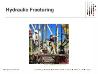
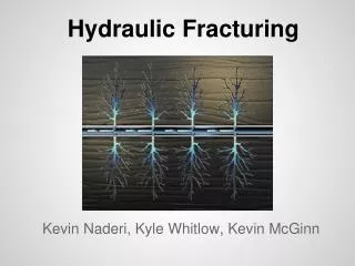
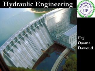
Hydraulic Engineers • Analyze and design systems to transport liquids. • Small and large systems of pipes as well as engineered and natural channels. • Hydraulic machinery such as pumps and turbines, hydraulic controls such as valves and weirs, and hydraulic structures such as dams and spillways.
Materials Engineers Design, analyze, and construct materials such as: • Steel • Concrete • Masonry • Asphalt • Composites
Structural Engineers • Design and analyze all man-made objects whose primary function is load resistance: buildings, bridges, aircraft, transmission towers, radar domes and antennas, drilling platforms, etc. • Must also consider the economics, esthetics and social implications of their creations.
Surveyors • Precisely locate and layout engineering projects. • GIS (Geographic Information Systems), GPS (Global Positioning Systems), and lasers distance measurement devices. • Maps and aerial photos.