Download
1 / 16
160 likes | 281 Views
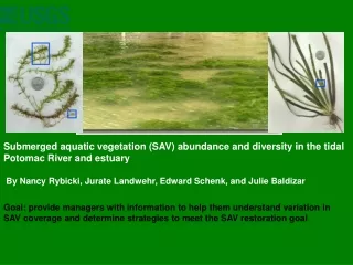
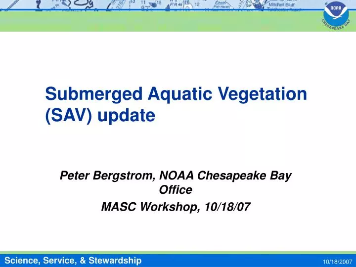
Submerged Aquatic Vegetation (SAV) update. Peter Bergstrom, NOAA Chesapeake Bay Office MASC Workshop, 10/18/07. SAV survey status & results. 2007 areas will not be ready at least until February Flight lines completed only recently—see map, next slide

E N D
Submerged Aquatic Vegetation (SAV) update Peter Bergstrom, NOAA Chesapeake Bay Office MASC Workshop, 10/18/07 10/18/2007
SAV survey status & results • 2007 areas will not be ready at least until February • Flight lines completed only recently—see map, next slide • SAV transects in several rivers; better ground survey data • Done for years by Nancy Rybicki’s group in the Potomac; can show patterns by species (see examples below) • 2007 transects started in MD by riverkeepers and volunteers in Bush, Patuxent, Chester, West/Rhode, Severn, South and Magothy rivers • VA transects done by VIMS in 2006-07 in York (6 sites) and Mobjack Bay (3 sites); also about 100 sites on both VA shores surveyed 2006-07 for eelgrass abundance • 2006 report incorporates new interactive map • This now contains the ground truth data; these are no longer shown on the quad maps • 2006 results show declines from 2004 & 2005 in all zones, including MD & VA coastal bays—why? 10/18/2007
2007 Flight Lines (all are done now) 10/18/2007
Collecting SAV transect data Tools: oyster tongs, graduated cylinders, GPS, buoys 10/18/2007
SAV patterns by species from Potomac transect data Peak in Hydrilla moved downriver Source: Nancy Rybicki, USGS More TN means less species diversity 10/18/2007
Sample transect data: abundance by species by distance from shore 10/18/2007
New interactive map in 2006 shows ground truth data Upper Magothy 10/18/2007
Recent SAV patterns • Baywide area and some zones increased during 2001-2002 drought • Increased in higher salinity zones only (mid and lower Bay) • SAV area declined baywide and in all zones, including coastal bays, in 2006 • In lower Bay, this was delayed response to 2005 hot summer (photos taken in spring) • May be some increases in 2007 10/18/2007
Baywide area peaked in 2002, declined in 2006 Drought Not including Coastal bays 10/18/2007
SAV area declined in all zones in 2006 Coastal bays not surveyed in 2005; similar declines 05-06 in other zones 10/18/2007
SAV Area by zone through 2006 (upper Bay) May be up in 2007 (Flats, Bush, Gun- powder very healthy) Drought Probably down in 2007 (very little in Chester, Eastern Bay, Choptank, or lower Potomac) 10/18/2007
Area by zone through 2006 (lower & coastal bays) Drought Up slightly in 2007 (2006 drop caused by 2005 summer heat) May be down in 2007 (only healthy beds near inlets) 10/18/2007
Why is SAV declining baywide? • Declining water clarity • Are water temperatures increasing? • either on average, or the summer peaks are getting higher & longer? • Extra-high peak preceded 2005 eelgrass dieback, lower Bay (see next slide) 10/18/2007
Warmer water in 2005 preceded eelgrass dieback Source: Bob Orth, VIMS 10/18/2007
The future of SAV in the Bay • If summer water temperatures keep climbing, eelgrass (Zostera marina) will continue to have trouble • If water clarity keeps declining, all species will have trouble • So, what can we do to increase SAV area? • SAV planting -139 acres planted to date in Bay, but success is low. Some of planted beds are present & expanding, though (6-7 sites) • Improve water clarity - how?? • Introduce other SAV species that can tolerate higher temperatures and/or lower water clarity? • Shoal grass, Halodule wrightii, grows from NC south at present, BUT its minimum salinity is 18 ppt vs. 10 ppt for eelgrass, so it could not really replace eelgrass • Japanese eelgrass, Zostera japonica, is naturalized in Pacific NW, tolerates salinity lower than Z. marina, and may hold promise for the Chesapeake (need to know its ecology better) 10/18/2007
Zostera japonica images Zostera at Padilla Bay, WA Intertidal Z. japonica Z. marina Z. japonica Intertidal Z. japonica in Japan Z. japonica 10/18/2007