Download

1 / 9
90 likes | 116 Views
Develop ecosystem conditions and services through ecoregion zoning at national levels in Indonesia. Includes data on natural resources, land characteristics, biodiversity, and climate for EPM planning. Utilizes Act no. 32/2009 and National Development Plan for preservation, adaptation, and mitigation to climate change.

E N D
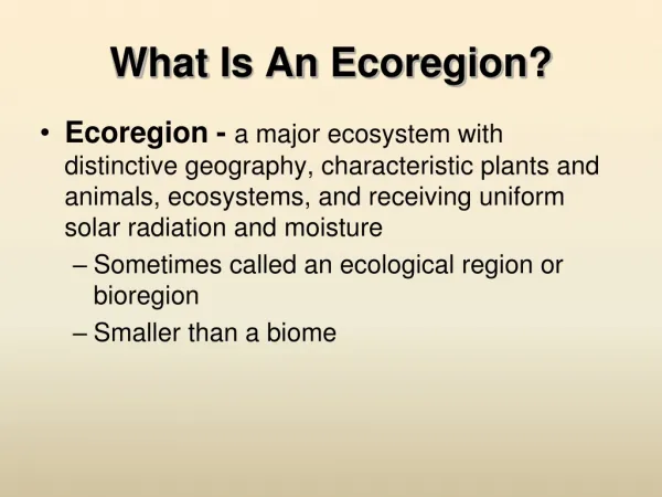
Ecoregion Map Indonesian model and experiences in developing ecosystem conditions and ecosystem services through ecoregion zoning
NATIONAL LEVELS ISLANDs ECO-REGION PLANNING OF ENVIRONMENTAL PROTECTION AND MANAGEMENT (EPM PLAN) • DATA& INFORMATION ON NATURAL RESOURCES AND ENVIRONMENT. incld: • STOCKS AND POTENTIONAL; • UTILIZATION; • RIGHT/TENURE; • MANAGEMENT KNOWLEDGE; • DEPLETION AND DEGRADATION; AND; • CONFLICT AND ITS IMPACT. PLANNING ENV. INVENTORY BASE DETERMINED BY THE MINISTER ECO-REGION ZONING NATIONAL PROVINCE DISTRIC T / CITY • CONSIDER: • CHARACTERISTICS OF LANDSCAPES; • WATERSHED; • CLIMATE; • FLORA AND FAUNA; • SOCIO-CULTURE; • ECONOMY; • PUBLIC INSTITUTIONAL; • NATURAL RESOURCES AND ENVIRONMENTAL INVENTORY. EPM PLAN • CONSISTS OF • UTILIZATION / RESERVATION OF NATURAL RESOURCES • b. PRESERVATION AND PROTECTION OF ENVIRONMENTAL QUALITY AND ITS FUNCTION • c. ADAPTATION AND MITIGATION TO CLIMATE CHANGE Source: Act no. 32/2009 ( ENVIRONMENTAL PROTECTION AND MANAGEMENT ACT ) National Development Plan (longterm and Medium Term)
The Multi-divers ecosystem of Indonesia Spesific ecosystem spesific ecosystem condition and ecosystem service different indicators for environmental accounting http://en.wikipedia.org/wiki/Richard_Lydekker
Ekoregion Mapping Process Sea Ecoregion Land Ecoregion National Ecoregion Map
The 18 Sea Ecoregion • 14 : Seram Sea and Bintuni Bay • Subduction Zone • Semidurnal tide type • Raja Ampat as the highest coral reff biodiversity and mangrove in Bintuni Bay • Variation on fish exploitation between moderate to over exploited • Vurnerable to tsunami and earth quake • Potential polution from oil and gas activity. 7 (seven) oil and gas location with potention of total discharge 304.433 m3/day Descriptors of each ecoregion Position, Location, Area, delineator Geology dan Geomorphology Oceanografy Biodiversity Utilisation Disaster vurnerability Polution
O1 = Memberamo Organic/Peat Plain Memberamo Organic/Peat Plain Structural Hill Structural Mountain Organic/Peat Plain Fluvial Plain
Development Stage • Time frame : • 2010 – 2012 Ecoregion Map with map scale 1: 500,000 (done) • 2013 – 201? Ecoregion Map with map scale 1 : 250,000 (on progress) • 20.. – 20.. Ecoregion Map with map scale 1 : 100,000 / 1 : 50,000 • The more details ecoregion map, more spesific ecosystem services available