1 / 41
410 likes | 512 Views
Madeira, officially the Autonomous Region of Madeira is one of two autonomous regions of Portugal. It is an archipelago situated in the North Atlantic Ocean, in a region known as Macaronesia, just 520 kilometres west of the Kingdom of Morocco.

E N D
The Curral das Freiras (Valley of the Nuns) has that name because of a community of Nuns who, in 1560, took shelter there when fleeing from French Lutheran privateers who invaded the island and ransacked the city of Funchal
Eira do Serrado is perhaps the most famous viewpoint in the area. It offers a spectacular view of The Curral das Freiras village and the surrounding valley from an elevated position
Curral das Freiras is 15 km north of Funchal. From Funchal the #81 bus runs to Curral das Freiras at regular intervals. It takes about 35 minutes. Thanks to its location in the depth of the valley, surrounded by huge mountains, this parish, whose economy is based on agriculture – mainly Chestnut production – Curral das Freiras is host to a large harvest festival held in November
Local handicrafts Curral das Freiras - Mountainside Road
The Cristo Rei is a sacred statue of Jesus Christ on Ponta do Garajau, a headland on the south coast of Madeira Island. This viewpoint offers panoramic views on the Atlantic Ocean, Funchal Bay and Desertas Islands
It is here that non catholic Christians were thrown from the cliffs as only Catholics were allowed to be buried on the island until 1770 when the British Cemetery of Funchal was established for non catholic Christians. The Jewish Cemetery of Funchal was established in 1851.
The statue was built in remembrance of the function of the area's history.
The statue was built in 1927. Financed by the local lawyer Aires de Ornelas and his wife, created by French artists Georges Serraz and Pierre Charles Lenoir.
The statue was completed 4 years before Christ the Redeemer statue in Brazil
The cable car at Garajau descends 200 metres to the pebbled shores of Garajau beach
The “Levadas”, from the Portuguese verb “levar” (to carry) are a system of channels or aqueducts of many kilometres in length, mostly bordering mountains, but also going through them, to bring water from different sources to its intermediate or final destinations
The origin of the levadas dates back to the first settlements of Madeira in the first quarter of the 15th century, when water became necessary to irrigate farm lands, particularly sugar cane fields – the first crop of high economic value in Madeira. Water was also essential for the first mills and sugar factories
With the ongoing expansion of farming operations, first with sugar cane, then later with vineyards, and today with bananas, the network of levadas kept expanding throughout the island
The more recent levadas handle greater flows and their cross-section may reach one meter twenty centimeters in depth and a meter in width. They can be dozens of kilometers long, most commonly built of concrete
Levada walks are very popular in Madeira as the way is cleared by maintained paths running along the water
In total there are 2500 kms of levadas on the island and many were created even before the first roads
Madeira portrays clearly the mutual adaptation between inhabitants and the rugged land they live on. This is particularly highlighted with the poios(these dry-stone terraces) and with the levada irrigation channels
Text: Internet Pictures: Internet Sanda Foişoreanu Elena Ciceu All copyrights belong to their respective owners Presentation: Sanda Foişoreanu https://www.slideshare.net/michaelasanda https://ma-planete.com/michaelasanda 2023 Sound:Mariza - Melhor de Mim
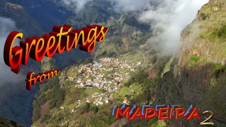
Encumeada Madeira, an autonomous region of Portugal, is an archipelago comprising 4 islands off the northwest coast of Africa. It is known for its namesake wine and warm, subtropical climate. The main island of Madeira is volcanic, green and rugged, with high cliffs, pebbly beaches and settlements on deltas of the Faja River. Madeira, originally uninhabited, was claimed by Portuguese sailors in the service of Prince Henry the Navigator in 1419 and settled after 1420. The archipelago is considered to be the first territorial discovery of the exploratory period of the Age of Discovery.