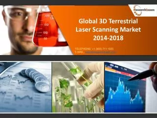
Global 3D Terrestrial Laser Scanning Market : Size, Analysis
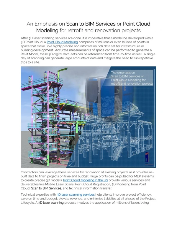
Laser scanners are optical measuring systems based on laser light transmission. Terrestrial laser scanning is a new and efficient method for digitizing large objects and is used in surveys, which allows ways to acquire complex geometric data from buildings, machines, and other objects. Terrestrial laser scanners provide a fast and accurate method of topographical surveying, giving deliverables such as spatial cloud data, digital elevation model (DEM), digital terrain model (DTM), contour maps, and the raw data for databases and technical analysis. It is a ground-based technique to measure the position and dimension of objects in 3D space.
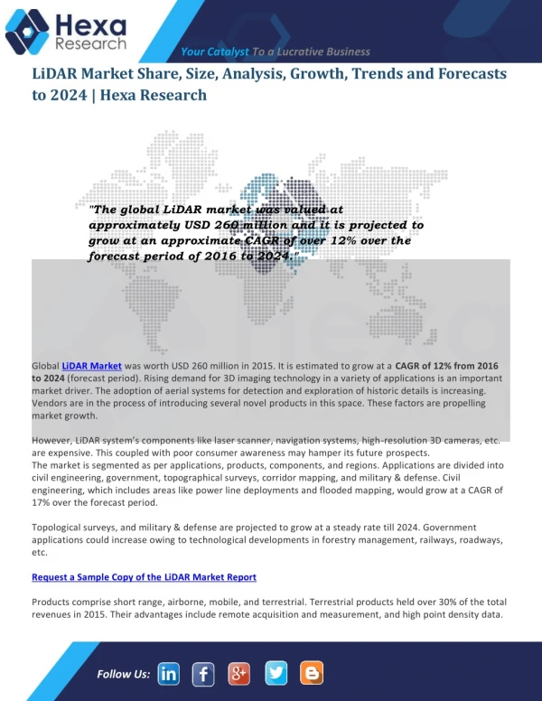
TechNavio's analysts forecast the Global 3D Terrestrial Laser Scanning market to grow at a CAGR of 12.53 percent over the period 2013-2018.
Complete report is available at :
http://www.researchbeam.com/global-3d-terrestrial-laser-scanning-2014-2018-market
★
★
★
★
★
362 views • 7 slides
