Download
1 / 14
140 likes | 214 Views
Explore the evolving geospatial information field in 2012, focusing on models, maps, data deluge, rules-based processing, and knowledge advancement. Discover insights from Haggett (1965) on the synergy between geometry and cartography, along with paradigms for data visualization and rule-based processing. Gain knowledge on formal languages for spatial data constraints, quality aspects in spatial data mining, and quantifying knowledge where data is scarce. Embrace the shift towards a European knowledge economy.

E N D
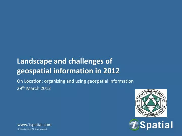
Landscape and challenges of geospatial information in 2012 On Location: organising and using geospatial information 29th March 2012
Agenda:Models & Maps, Data & Knowledge • Geometry and Cartography • Data deluge • Rules based processing • Knowledge 2
Haggett (1965) Geometry not only offers the opportunity of welding data into a new partnership, but revives the role of cartography. 3
Paradigms 4 feet 8.5 Inches 5
Maps 6
Data 8
2010 10
Rules Based Processing in Geographical Information ‘Formal Languages for Expressing Spatial Data Constraints and Implications for Reporting of Quality Metadata.’ Paul Watson. Chapter 24. Quality Aspects in Spatial Data Mining (Pages 329-344) Edited by Alfred Stein , Wenzhong Shi , and Wietske Bijker CRC Press 2009 Print ISBN: 978-1-4200-6926-6 eBook ISBN: 978-1-4200-6927-3 On line at: http://www.isprs.org/proceedings/XXXVI/2-C43/www.itc.nl/issdq2007/proceedings/Session%205%20Dissemination%20and%20Fitness%20for%20Use/paper%20Paul_Watson%5B1%5D.pdf 12
Knowledge Quantifying where data is poor or missing 13
Summary “As a general rule, the most successful man in life is the man who has the best information." Benjamin Disraeli 14