Download
1 / 19
200 likes | 218 Views
Soil data is crucial for hydrology, but not all areas are mapped, making it confusing. Learn how to use readily available digital soil mapping to predict sediment movements and analyze soil attributes accurately. Discover techniques like DEM and geological data analysis for improved hydrological insights. Explore the significance of upslope dependence and downslope influence in predicting sediment sources. Stay informed with references for further study.

E N D
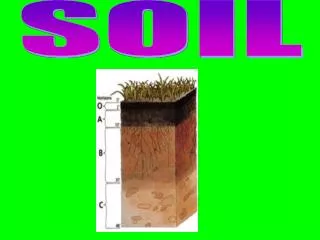
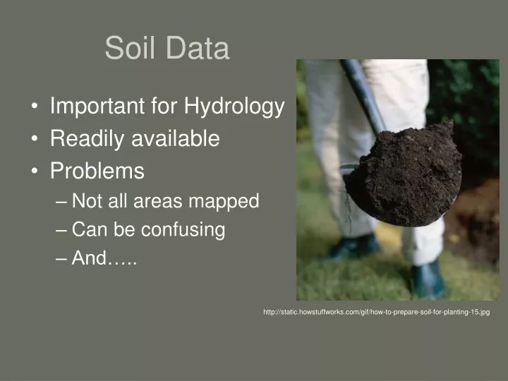
Soil Data • Important for Hydrology • Readily available • Problems • Not all areas mapped • Can be confusing • And….. http://static.howstuffworks.com/gif/how-to-prepare-soil-for-planting-15.jpg
Depends on • Date of soil survey • Scale of mapping • Order 3 (public lands) • Skill of soil scientist
If you use soil data you must know • What survey it came from. • The scale of mapping (complexes). • Date.
Digital Soil Mapping • Provide accuracy estimates • Map attributes and type • Requires digital (GIS) data layers
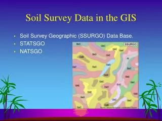
Soil Data Availability Status Map http://soildatamart.nrcs.usda.gov/StatusMap.aspx
Predicting Pedogenic Silica Accumulations in Geologically Complicated Landscapes
How? • DEM • Soil Data (raster) • Geological Data (raster) • TauDEM • Fill pits • Flow direction (D inf) • Downslope Influence • Upslope dependence
Downslope Influence • Predicts sediment movement. • Digitized geology map. • Igneous extrusive. http://hydrology.neng.usu.edu/taudem/
Upslope Dependence • Predicts possible source of sediment. • Buffered points. http://hydrology.neng.usu.edu/taudem/
What now? • Upslope Dependence most promising. • Better Geology data. • Finish data collection. • Run for soils that have different amounts of silica (duripan vs. silica pendents). • Quantitatively analyze portion of the flow that originates from different geology types.
References • Boettinger, J.L., and R.J. Southard. 1991. Sources of silica and carbonate for Aridisols on a granitic pediment, western Mojave Desert. Soil Science Society of America Journal 55:1057-1067. • Gessler, P.E., O.A. Chadwick, F. Chamran, L. Althouse, and K. Holmes. 2000. Modeling soil-landscape and ecosystem properties using terrain attributes. Soil Science Society of America Journal 64:2046-2056. • Gessler, P.E., Moore, I.D., McKensie, N.J., Ryan, P.J. 1995. Soil–landscape modeling and spatial prediction of soil attributes. International Journal Geographical Information Science 9, 421-32 • Grazing Lands Technology Institute. 2003. National Range and Pasture Handbook, 1st revision. USDA NRCS. Grazing Lands Technology Institute (GLTI), Fort Worth, Texas. • Moore, E.D., Gessler, P.E., Nielsen, G.A., Peterson, G.A., 1993. Soil attribute prediction using terrain analysis. Soil Science Society of America Journal 57, 443-452 • Saunders, A.M., and J.L. Boettinger. 2007. Incorporating classification trees into a pedogenic understanding raster classification methodology, Green River Basin, Wyoming, USA. p. 389-399.In: P. Lagacherie, A.B. McBratney, and M. Voltz (eds.) Digital SoilMapping: An introductory perspective. Developments in Soil Science Vol. 31, Elsevier, Amsterdam. • Soil Survey Staff. 2006. Keys to Soil Taxonomy, tenth edition. USDA NRCS, US Government Printing Office, Washington, D.C. • Stringham, T.K., Krueger, W.C., and Shaver, P.L. State and Transition Modeling: An ecological process approach. Journal of Range Management. 56: 106-103 March 2003. • Tarboton, D. G., (1997), "A New Method for the Determination of Flow Directions and Contributing Areas in Grid Digital Elevation Models," Water Resources Research, 33(2): 309-319. • USGS National Gap Analysis Program. 2005. Southwest Regional GAP Analysis Project—Land Cover Descriptions. RS/GIS Laboratory, College of Natural Resources, Utah State University. • Utah Geological Survey webpage.