Download
1 / 13
130 likes | 156 Views
Learn about earthquake measurement scales, damage impacts, and forecasting methods. Explore Richter and Mercalli Scales, locating earthquakes, intensity factors, soil liquefaction, tsunamis, and earthquake forecasting. Understand how seismic waves are analyzed and how earthquakes are located using P and S waves. Discover the devastation caused by tsunamis and the importance of earthquake forecasting for prevention. Dive into the science behind earthquakes for a comprehensive overview.

E N D
19.3 and 19.4- Measuring and Locating Earthquakes; Earthquakes and Society
Richter Scale • Measure of the energy of the largest seismic wave (magnitude) • The number is determined by the amplitude of the largest seismic wave • The numerical values represent increases of 10’s • Example: an 8 on the Richter scale has 10 times the amplitude as a 7 on the Richter scale
Modified Mercalli Scale • Rating of damage in Roman numerals • I= earthquake not felt under ordinary circumstances • XII = total damage; objects thrown upwards in the air
Earthquake Intensity • Surface waves decrease in intensity with increasing distance from the epicenter • Mercalli values decrease to I at distances far from the epicenter • Depth of focus also plays a role, obviously earthquakes with a shallow focus have higher intensity values than earthquakes with a deeper focus
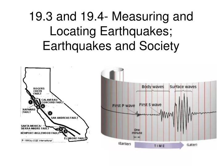
Locating an Earthquake • The difference in the arrival time of the P and S waves can be used to estimate the distance from an epicenter • Once this distance is known, a circle is drawn on a map to estimate the locations of the epicenter • By combining the information from 3 seismograms in different locations and seeing where their circles collide, scientists can determine the location of the epicenter
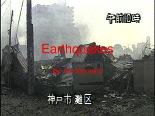
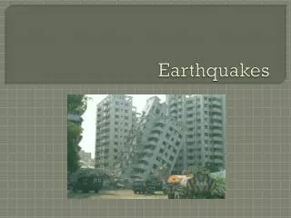
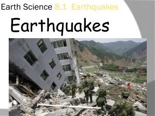
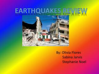
Earthquake Damage • The damage is most extensive on brittle buildings (made of concrete); wooden buildings seem to be more resilient and can sustain less damage
Soil liquefaction • Earthquakes can trigger soil liquefaction which causes the sand to fill with water • This causes the toppling over of trees and landslides
Tsunami • Caused by the vertical motion of the seafloor during an earthquake whose focus is under the sea • On December 26, 2004 a magnitude-9.0 earthquake in the Indian Ocean caused the formation of a 30-meter tall tsunami that flooded the coasts of Indonesia, Sri Lanka, India, Thailand, Somalia and others • 225,000 people died in this event
Earthquake Forecasting • The probability of an earthquake’s occurrence is based on two factors: the history of earthquakes in an area and the rate at which strain builds up in the rocks • The stress (which causes strain) can be measured using GPS along a fault