Download
1 / 17
170 likes | 190 Views
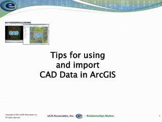
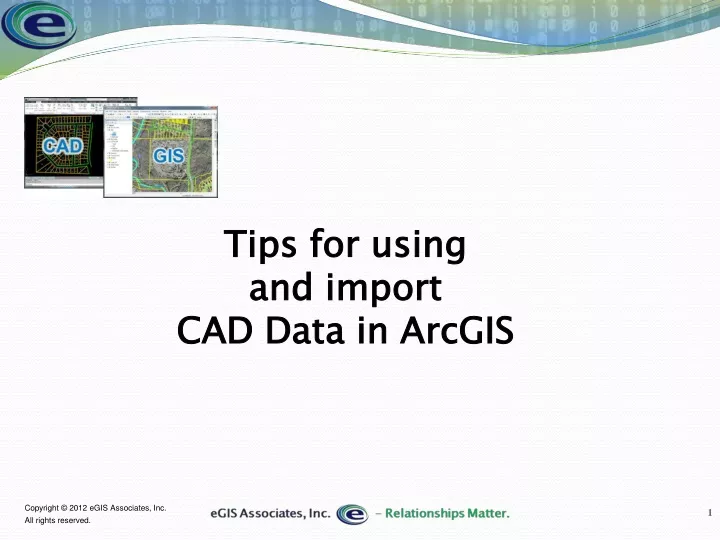
Learn how to efficiently import and use CAD data in ArcGIS, including formats like DWG, DXF, and DGN. Discover tools and methods for importing, common issues with CAD data formats, and tips for editing and converting to geodatabases. Explore layers, levels, and how to utilize ArcGIS CAD to GIS tools effectively.

E N D
Agenda • CAD Data Format • DWG, DXF, DGN • Using CAD Data as a layer in ArcMap • Tools & methods for importing CAD Data • Common Problems
CAD Data formats • DXF & DWG = AutoCAD • DGN = Microstation • Commonly referred to as a Drawing File • Contains multiple entity types • Also stores graphics (layouts) • Some can store attribute information • Blocks • Object Data (Map & Civil 3D) • Can also reference other CAD files • Indicated by Blue Icons • Edit after converting to geodatabase FC or shapefile
CAD data formats • Contains multiple entity types • Points • Lines • Polygons • Attributes • Text styles • Plot layouts • Projection/Coordinate Systems • References to external files
Layers & Levels • Primary organization structure • Layers = DWG or DXF • Levels = DGN • Users can create an unlimited number of layers • Can contain multiple feature types • User defined attributes • Name • Color • Print • More
ArcGIS CAD to GIS Tools • ArcCatalog • ArcMap
ArcCatalog • Convert to multiple formats • Shapefile • Geodatabase • Simple Data Loader • ArcToolbox • Works in Catalog Window
ArcMap • More flexible than ArcCatalog • Also converts to multiple formats • Can use selections • Copy & Paste • Object Loader • ArcToolbox
ArcToolbox • Can be used from either ArcMap or ArcCatalog • Tools can be used in model or python script
ArcToolbox – FeatureClass to Feature Class Tool • Converts multiple formats to GDB Feature Class or Shapefile • Can select features using expression • Tool accessible multiple methods
Feature Class to Geodatabase • Python Script • Uses FC to FC tool • Multiple FC converted to single GDB
CAD to Geodatabase Tool • Creates new Feature dataset in existing GDB • Converts entire drawing file • Can convert multiple CAD files at one time • Can use PRJ and WLD files
Import CAD Annotation Tool • Converts CAD Annotation to GDB Annotation • Desktop Basic has limited functionality • Can covert CAD Layers to individual feature classes (Standard or Advanced) or merge to single FC • If used in ArcMap, you can use layers as input
Common Problems • Unlimited drawing area for DWG & DXF • New release formats (2013 most current AutoCAD) • Specialty objects (arcs, ellipses, splines) • Data not on correct layer or level • GIS cannot access layout (Paper Space - DWG or DXF) information • Use of Xrefs • Often not georeferenced
Questions & Contact Tripp Corbin, CFM, GISP CEO eGIS Associates, Inc. tcorbin@egisassociates.com 678-710-9710 ext 21 www.egisassociates.com