Download
1 / 3
30 likes | 60 Views
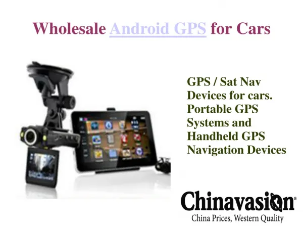
Android is becoming very popular in embedded market for two main reasons. First, it is open source software moreover, there are no royalty fees for java VM virtual machine . Second deriving from the first, android is highly suitable for expansion as the developer sees fit. Being Computer Science Engineering Users ourselves, we have been motivated to develop this project for the benefit of the people masses, by the idea of providing an easier means of accessing various web resources related to the bus, thus providing them with a better, richer experience of travelling. Further, the recent advent and popularity of android technology motivates us to create an android application for the same. Mohammad Altamash | Swapnil Mahalle | Prof. Nusrat Anjum "A Review on Bus Tracker via GPS using Android Application" Published in International Journal of Trend in Scientific Research and Development (ijtsrd), ISSN: 2456-6470, Volume-2 | Issue-3 , April 2018, URL: https://www.ijtsrd.com/papers/ijtsrd11022.pdf Paper URL: http://www.ijtsrd.com/engineering/computer-engineering/11022/a-review-on-bus-tracker-via-gps-using-android-application/mohammad-altamash<br>

E N D
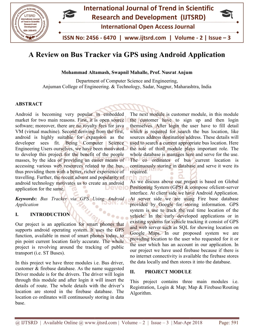
International Research Research and Development (IJTSRD) International Open Access Journal A Review on Bus Tracker via GPS using Android Application A Review on Bus Tracker via GPS using Android Application International Journal of Trend in Scientific Scientific (IJTSRD) International Open Access Journal ISSN No: 2456 ISSN No: 2456 - 6470 | www.ijtsrd.com | Volume 6470 | www.ijtsrd.com | Volume - 2 | Issue – 3 A Review on Bus Tracker via GPS using Android Application Mohammad Altamash, Swapnil Mahalle, Prof. Nusrat Anjum Mohammad Altamash, Swapnil Mahalle, Prof. Nusrat Anjum Mohammad Altamash, Swapnil Mahalle, Prof. Nusrat Anjum Department of Computer Science and Engineering, Anjuman College of Engineering. & Technology, of Engineering. & Technology, Sadar, Nagpur, Maharashtra, India Department of Computer Science and Engineering, , Maharashtra, India ABSTRACT Android is becoming very popular in embedded market for two main reasons. First, it is software; moreover, there are no royalty fees for java VM (virtual machine). Second deriving from the first, android is highly suitable for expansion as the developer sees fit. Being Computer Science Engineering Users ourselves, we have been mo to develop this project for the benefit of the people masses, by the idea of providing an easier means of accessing various web resources related to the bus, thus providing them with a better, richer experience of travelling. Further, the recent advent and popularity of android technology motivates us to create an android application for the same. Android is becoming very popular in embedded market for two main reasons. First, it is open source software; moreover, there are no royalty fees for java VM (virtual machine). Second deriving from the first, android is highly suitable for expansion as the developer sees fit. Being Computer Science Engineering Users ourselves, we have been motivated to develop this project for the benefit of the people masses, by the idea of providing an easier means of accessing various web resources related to the bus, thus providing them with a better, richer experience of The next module is customer module, in this module the customer have to sign up and then login themselves. After login the user have to fill detail which is required for search the bus location, like sources address destination address. These details will used to search a current appropriate bus location. Here the role of third module plays important role. The nages here and serve for the use. The co ordinates of bus current location is continuously storing in database and serve it were its The next module is customer module, in this module the customer have to sign up and then login themselves. After login the user which is required for search the bus location, like sources address destination address. These details will used to search a current appropriate bus location. Here the role of third module plays important role. The whole database is manages here and serve for the use. The co ordinates of bus current location is continuously storing in database and serve it were its required. vent and popularity of As we discuss above our project is based on Global Positioning System (GPS) & compose ofclient interface. At client side we have Android Application. At server side we are using Fire base database provided by Google for storing information. GPS system is use to track the real time location of the vehicle. In the early developed applications or in existing systems for vehicle tracking it consist of GPS and web server such as SQL for showing location on Google Maps. In our proposed system we are providing location to the user who requested for it or the user which has an account in our application. In our project we have used firebase because if there is no internet connectivity is available the firebase stores the data locally and then stores it into the database. the data locally and then stores it into the database. As we discuss above our project is based on Global Positioning System (GPS) & compose ofclient-server At client side we have Android Application. At server side we are using Fire base database provided by Google for storing information. GPS system is use to track the real time location of the vehicle. In the early developed applications or in ems for vehicle tracking it consist of GPS and web server such as SQL for showing location on Google Maps. In our proposed system we are providing location to the user who requested for it or the user which has an account in our application. In we have used firebase because if there is no internet connectivity is available the firebase stores android technology motivates us to create an android Keywords: Bus Tracker via GPS Using Android Application ia GPS Using Android I. INTRODUCTION Our project is an application for smart phones that supports android operating system. It uses the GPS function, available in most of smart phones today, to pin point current location fairly accurate. The whole project is revolving around the tracking of public transport (i.e. ST Buses). Our project is an application for smart phones that system. It uses the GPS function, available in most of smart phones today, to pin point current location fairly accurate. The whole project is revolving around the tracking of public In this project we have three modules i.e. Bus driver, customer & firebase database. As the name suggested Driver module is for the drivers. The driver will login through this module and after login it will insert the details of route. The whole details with the driver’s location are stored in the firebase database. The location co ordinates will continuously storing in data base. In this project we have three modules i.e. Bus driver, customer & firebase database. As the name suggested Driver module is for the drivers. The driver will login through this module and after login it will insert the II. PROJECT MODULE PROJECT MODULE This project contains three main modules i.e. Registration, Login & Map; Map & Firebase/Routing This project contains three main modules i.e. Registration, Login & Map; Map & Fireb Algorithm. th the driver’s location are stored in the firebase database. The location co ordinates will continuously storing in data @ IJTSRD | Available Online @ www.ijtsrd.com @ IJTSRD | Available Online @ www.ijtsrd.com | Volume – 2 | Issue – 3 | Mar-Apr 2018 Apr 2018 Page: 591
International Journal of Trend in Scientific Research and Development (IJTSRD) ISSN: 2456-6470 There is a database console which is used to store data in tree like structure (i.e the concept of root node and leaf node.). There is another console in Firebase database known as Authentication console. This console is used to provide authentication, It maintain the table in which the user id, password, unique key and other forms data is stored. 1.Registration In this module user will create a user account and fill details (i.e. date of birth, gender, name). Similarly, for the registration of Driver the department will provide unique Driver ID and Password to the Driver so that it can access further modules. Without registration users/driver cannot be able to access the further application. 3000 2.Login & Map 2500 This module depicts the process of selection of bus number and presenting the current location of the bus. User having their User ID and Password through which they can login and access this module. In this module after the successful login the user have to enter the detail of journey i.e. source and destination address. After entering proper details the map will be shown. In this map the real time location of the bus will be displayed. 2000 1500 private transport 1000 public transport 500 Google Maps is a web mapping service developed by Google. It offer satellite imagery, street maps,360° panoramic views of streets (Street View), real-time traffic conditions (Google Traffic), and route planning for travelling by foot, car, bicycle (in beta), or public transportation. Google Maps provides a route planner, allowing users to find available directions through driving, public transportation, walking, or biking. The Google Maps apps on Android and IOS have many features in common, including turn-by- turn navigation, street view, and public transit information. Updates in June 2012 and May 2011 enabled functionality to let users save certain map regions for offline access, while updates in 2017 have included features to actively help U.S. users find available parking spots in cities, and to give Indian users a two- wheeler transportation mode for improved traffic accessibility. 0 Fig.1 Graphical Representation of Number of users III. IMPLIMENTATION The proposed system highlights on the GPS Location for users about current position of state transport vehicle. Location-Based service is another key functionality that is used in Smartphone applications. It is often combined with maps to give a good experience to the user about their location. 3.1Working of Application 3.Firebase In this module; application is using Google-API’S to show the map. Location co ordinates will be sending to and retrieve from firebase after every 5 seconds. 3.1.1. Modules at Driver side: a.Bus Driver Login. b.Fetching Bus Location. Firebase provides a realtime database and backend service. Firebase is a free database provided by Google. The services provide application developer an API that allows application data to be synchronized across clients and stored on firebase database. Data is stored in database tab of Firebase console. a.Bus Driver Login: In this module, at front-end user enters the Bus details like Bus plate number, Bus Source and Bus Destination. These details are stored at back-end in Firebase database. These details include the schedule of Bus, and route of Bus. Server fetches these details by having link @ IJTSRD | Available Online @ www.ijtsrd.com | Volume – 2 | Issue – 3 | Mar-Apr 2018 Page: 592
International Journal of Trend in Scientific Research and Development (IJTSRD) ISSN: 2456-6470 between Application and Firebase database Console. will help to take the guess work Out of bus arrival at the stop. Project was great opportunity for us to learn and work in the Android environment. Considering the features of project such as Bus Locator, Graphical Map. We hope that our application will play an important role. b.Fetching Bus Location: In this module, Bus Locator Application will fetch the coordinates from Google Map at Background so that it should not affect any other activities of device. V. FUTURE SCOPE By the time when device changes its location it will fetch the co-ordinates and sends these co-ordinates to the Server. These co-ordinates are in terms of longitude and Latitude. Online Bus Ticket Reservation System Change The Password After Logging Into The System Reservation Facility. Query For The Buses For Two Weeks (Only Two Weeks Advance Reservation Is Available). No Reservation Before Two Days Can Be Done Able To Choose The Seats Which Are Available Give Details About The Credit Card. Improved & Optimized Service. ACKNOWLEDGEMENT 3. 1.2. Modules at User side a.User Login. b.Graphical-Map. a.User Login: This module consists of two sub modules, Source (From where user want to travel) and Destination (To where user want to reach), Show bus. In first sub module. I.e. Source and Destination module, User will provide the source from where user want to travel i.e. Source bus stop name and Destination where user want to reach i.e. Destination bus stop name. This sub module is to have interaction between User and Firebase Console. We would like to thank our project guide Prof. Nusrat Anjum (Assistant Professor, Department of Computer Science and Engineering, Anjuman College of Engineering of Technology, Sadar, Nagpur), for their guidance throughout this project. We also like thank our members of the department for their kind assistance and cooperation during the development of the project, without which it would have been to complete this project. b.Graphical-Map: This module displays Graphical Map of Real-time location of bus. When the application is running at Driver side it will fetch co-ordinates of device; further Driver application will send these co-ordinates to Server. Then Application locates Graphical Map by having markers on it. REFERENCES these co-ordinates in 1.Vehicle Tracking and Locking System Using GPS and GSM- iarjset.com. February 2017 2.SMS based Bus Tracking System using Open Source Technologies- ijcaonline.org January 2014 IV. CONCLUSION By using GPS enabled Android device in every bus we can Track each and every bus from central location. Thus, reduces the traffic problems and leads to the better work. This project reduces the risk of losing signals by the time of bad weather as compared with GPS receiver hardware device. The GPS service 3.Real Time Web Based Bus Tracking System- IRJET.net 4.Jawed Ahmed , Bashiruddin, Mohd Ikrar “ Real Time Monitoring of DTC And Alert Generation” 2016. @ IJTSRD | Available Online @ www.ijtsrd.com | Volume – 2 | Issue – 3 | Mar-Apr 2018 Page: 593