Download
1 / 37
370 likes | 561 Views
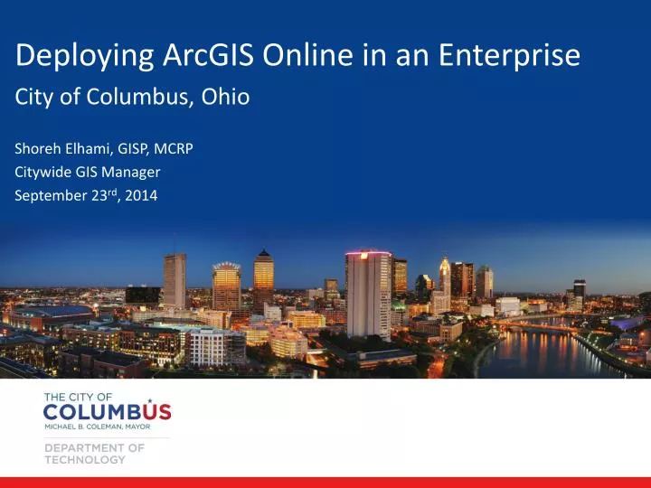
Deploying ArcGIS Online in an Enterprise City of Columbus, Ohio Shoreh Elhami , GISP, MCRP Citywide GIS Manager September 23 rd , 2014. Outline: General Background GIS History & Background GIS Infrastructure & Applications ArcGIS Online Deployment Use Cases

E N D
Deploying ArcGIS Online in an Enterprise City of Columbus, Ohio Shoreh Elhami, GISP, MCRP Citywide GIS Manager September 23rd, 2014
Outline: General Background GIS History & Background GIS Infrastructure & Applications ArcGIS Online Deployment Use Cases Use Guidelines & Future Plans
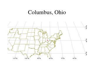
General Background: Largest city in Ohio: 810,000+ residents Columbus Metro: 1.8 Million residents 15th largest city in the US +/-225 square miles 8,000+ employees (City) GDP: $90 Billion Home of The Ohio State University
GIS History/Background: GIS started in early 90’s Esri based GIS platform with Oracle RDBMS Over 300 desktop GIS users in the City +/-100 Active editors of datasets 340+ feature classes and tables 40,000,000+ records Nine departments actively use GIS
Departments using GIS: Technology Public Utilities Public Service Building & Zoning Development (Planning, Economic Development, Housing) Recreations & Park Public Health Public Safety (Police & Fire) Finance (Real Estate & Construction Management)
GIS History/Background: GIS applications and databases reside on 28 servers (a mix of Linux and Windows – VM servers) development, staging and production The current system architecture has been reviewed and will be upgraded in the coming months…
GIS Applications: Internal GIS applications (various APIs) External GIS Applications (various APIs) Some integrated with other applications Some deployed on mobile devices In several cases, GIS datasets are either used from the rest end point or directly from feature classes
ArcGIS Online was deployed in 2013 A Unified GIS Portal -- City of Columbus GIS Portal A portal where users explore maps and apps by category/key words A platform where focused maps and apps are produced and placed where they have maximum use/impact
Deploying ArcGIS Online Announced the launch of the portal to departments; began publishing web maps/apps Designed a web map/app request form, why? A clean set of Map/Feature Services (a true Service Oriented Architecture – SOA) to be consumed by AGO community did not exist Requests started to come in…
Use cases: Development (a variety of uses & templates) Public Health (Vector control, Mumps; confidential maps: assigning internal user) COTA (Collector pilot project) University Consortium (Historic maps) Berliner Park (live change to a layer in SDE)
Public Health - Mosquito Count - Spraying Areas - Tested Positive for West Nile
Deploying ArcGIS Online – Use Guideline Assign custom roles based on expertise & need Setting criteria for content managers on deploying maps and apps in city’s web content software (iFrame cannot be used); tagging Using Microsoft Office add-in (do’s and don’ts) Advise on branding & use of templates Identify credit burning activities
Deploying ArcGIS Online – Use Guideline Identify credit burning activities Caching tiles Geocoding Geo-Enrichment (Perform Analysis) Community Analyst Reports File storage ….
Deploying ArcGIS Online – Use Guideline Criteria for creating folders, Groups, Galleries Use of data; when should we use: Shape file Dynamic (Map/Feature) service Cached service Hosted services (publish from desktop)
Deploying ArcGIS Online – Use Guideline Does the layer have to be update live? Would the enterprise need this dataset? Does the user have the skill set to edit the layer in SDE? Does the layer have over 1,000 features? Is the layer static or rarely updated? Does the layer need to be cached (too many features)? Is the layer use by multiple applications & departments? Does the layer need to be created from edit or repository? Does the layer have a custodian?
What’s Next? Finalize publishing Map/Feature/Cache services Complete the Use Guideline Conduct training Designate departmental Reviewers And then, spread the awesomeness of simple & focused maps and apps by getting more departments involved!