Download
1 / 17
170 likes | 188 Views
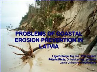
Explore the Making Space for Water initiative focusing on Coastal Erosion project HA4b. Learn about mapping coastal risks, projecting future coastlines, and enhancing resilience. Follow the journey from initial consultation to current project status.

E N D
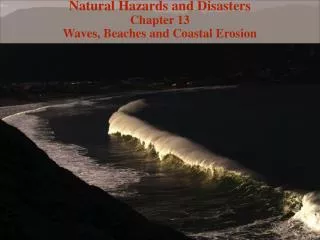
Making Space for WaterRisk Mapping: Coastal Erosion Tuesday 6th June 2007 LGA SIG Geoff Astle, Environment Agency Jonathan Rogers, Halcrow
Making Space for Water Background to Making Space for Water (MSfW) And the Coastal Erosion Project (HA4b) Geoff Astle Senior Project Manager Environment Agency
Making Space for WaterInitial Consultation • Serious flood events in 1998 & 2000 highlighted need to develop comprehensive & integrated strategy for managing future flood and coastal erosion risks. • On 29/7/04 Government launched the “Making Space for Water” (MSfW) consultation • Initial consultation lasted until 1/11/2004 • Consultation was to inform development of a new strategy • Sought views on broad range of flood and coastal erosion risk management issues
Making Space for WaterResponse • In March 2005 Defra published the first Government response to the consultation • It outlined how the new strategy was to be implemented over the next 20 years and beyond • It recognised the fact that there was further work required to implement the detail of the new strategy. • Acknowledged the need for continued consultation in order to assess options for the future. • Result was a programme of work consisting of 25 projects divided into 4 themes
Making Space for WaterProject Themes • Holistic Approach to Managing Flood and Coastal Erosion Risk (HA) • Achieving Sustainable Development (SD) • Increasing Resilience to Flooding (RF) • Funding (FD)
Making Space for Water“Holistic Approach” Theme • HA1 – Environment Agency Strategic Overview • HA2 – Urban Flood Risk and Integrated Drainage • HA3 – Urban Flood Risk and the Transport Network • HA4 – Risk Mapping • HA5 – Groundwater Flooding • HA6 – Catchment Scale Land-Use Management • HA7 – Good Practice Land Management
Making Space for WaterHA4 – Risk Mapping • HA4a – Flooding from Other Sources • HA4b – Coastal Erosion
Coastal Erosion (HA4b) Project Objectives • Map the coastline susceptible to erosion and instability from natural processes • Predict future coastline positions based on existing defences and management practices • Consider ways in which both hazard and risk associated with coastal erosion can be generated for England • Look at ways in which this can be graphically illustrated through mapping • Develop policy, regulation, organisation responsibility and processes to support implementation of the above • Contribute to a wider MSfW communications strategy
Risk Mapping: Coastal Erosion (HA4b) Project Scope • England and Wales • The assessment should cover the whole of the coastline (defended and undefended) • Not estuaries (as defined by SMP boundaries) • Erosion only • Not flooding (complement flood maps) • Nor flooding as a consequence of erosion
Making Space for WaterFD2324/RACE • R&D Project • Commissioned by Defra in 2005 • “provide a procedure to enable coastal authorities with the means to better understand, appraise and quantify the coastal erosion risks they are obligated to manage.” • Develop broad methodology & proof of concept tool • Carry out trials • Project complete & tools available FD2324/RACE
Making Space for WaterSetting up HA4b • A national application of FD2324 FD2324 HA4b
Making Space for Water HA4b: Project Approach • Halcrow lead consultants • Peer review as part of quality process included: • Royal Haskoning, Faber Maunsell, Terry Oakes Associates
Making Space for Water HA4b: Project Approach • Internal consultation included: • EA England & Wales • Wider MSfW Programme including: • Coastal Strategic Overview (HA1) • Adaptation Toolkit (SD2) • Climate Change (SD5) • Stakeholder and Community Engagement (SD6)
Making Space for Water HA4b: Project Approach • External Consultation included: • Defra and WAG • Defra Stakeholders’ Forum • Coastal Group Chairs • Institution of Civil Engineers (ICE) • Associated of British Insurers (ABI) • Coastal Group Roadshows • 17 events already attended • A further 4 to follow (including 1 in Wales) • FAQ sheet maintained
Making Space for WaterHA4b Project Timelines Project Inception June 2006 Create Database Create Software Tools (x3) Test tools & processes Create baseline position March 2007 First National Pass “Beta” Testing June 2007 Local Validation Initial Hazard Maps December 2007 Risk Maps December 2008
Making Space for Water Current Project Position: • Finalising ‘baseline’ position (Defence data) • First National Run • Continue to consult with Local Authorities through Coastal Groups (England and Wales)
Making Space for Water Risk Mapping: Coastal Erosion Project Details Jonathan Rogers Halcrow