Download
1 / 27
270 likes | 287 Views
Learn about geodata formats, challenges in long-term data preservation, and how to ensure the longevity of valuable digital information. Explore various preservation methods, risks, and solutions, and join the community in evaluating the best formats for sustained data access.

E N D
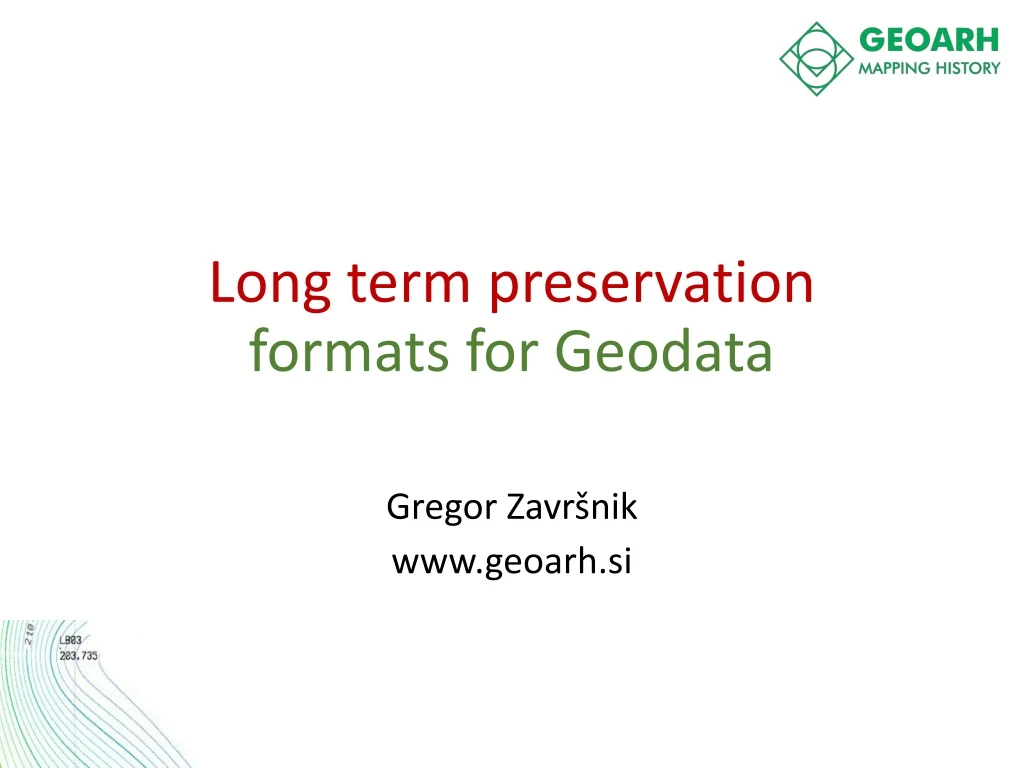
Long term preservation formats for Geodata Gregor Završnik www.geoarh.si
3.5" Floppy CD-ROM 9-Track Reel MultiMedia Card • What is Geodata and what formats can we expect? • What is long term preservation and how to achieve it?
"Digital information lasts forever - or five years, whichever comes first." (Jeff Rothenberg, RAND Corp., 1997)
What can happen… Copied over the Moon Landing tapes
What you might need to do… • NASA sent two Viking Landers to Mars in 1975 • Data recorded on magnetic tape • Climate controlled environment • In the 1990s they could not decode the formats used • Had to track down old printouts and retype everything Photos: Courtesy NASA/JPL-Caltech
Software becomes obsolete • Software used in archaeology • Lots of formats • Become out • of date rapidly ADS Big Data project (formats identified more than once) Source:
5.25" Floppy Digital data is fragile • Storage media deterioration • Storage media obsolescence • Software obsolescence • Hardware obsolescence • Poor documentation
Rasters Scanned paper maps Imagery Heatmaps Terrain • TIFF • GeoTIFF • Jpeg • Jpeg2000 • MrSID • GRID • ERDAS Imagine • RST • BIL • PIX • PNG • ECW • RLE • ASC • RST • …. Raster FORMATS
Vectors FORMATS: • ESRI Shapefile • GML • GeoJSON • Google KML • GPS Exchange GPX • MapInfo TAB • Open-street map OSM • ArcInfo Coverage • …
Let’s complicate it a bit…Complex vector systems • Topologies • Complex utilities network • Transportation networks • Etc.
Geographic Database Formats • ESRI Geodatabase • Oracle Spatial • Postgress – PostGIS • OGC Geopackage • Mapbox MBTiles • SpatialLite • ….
Format evaluation method for Geodata long term preservation formats: • Openness • Adoption • Complexity • Self-Documentation • Robustness • Dependencies
GML SHP
Conclusion (1) GML : • (+) is more open, human readable, robust, self-documenting • (-) Less adopted in archives and in GIS Tools ESRI Shapefile • (+) More widely adopded, supported in readers, • (-) Less open, propriatery ownership, less robust, lacks self description
What next? • Analize more existing formats: • (GeoJSON), • Raster formats • Database based formats, • HELP US!!! Join the theDILCIS Board (run by DLM Forum) and help us evaluate best long term preservation formats for you. www.dilcis.eu
Resources: • www.Geopreservation.org • E-ARK PROJECT • Paper: Evaluating File formats for Long-Term PreservationCaroline van Wijk
Questions? Gregor Završnik Gregor@geoarh.si