Download
1 / 15
150 likes | 312 Views
Alaska Satellite Activities. Dr Gary Hufford. POLAR ORBITING SATELLITES. QUICK SCAT. METOPS. FENG YUN. RADARSAT SAR. NOAA POES. DMSP. MODIS. NATIONAL WEATHER SERVICE ALASKA REGION. SEA ICE/SST. MARINE PROGRAM. FIRE WEATHER. PUBLIC PROGRAM. CLIMATE MONITORING. AVIATION

E N D
Alaska Satellite Activities Dr Gary Hufford
POLAR ORBITING SATELLITES QUICK SCAT METOPS FENG YUN RADARSAT SAR NOAA POES DMSP MODIS NATIONAL WEATHER SERVICE ALASKA REGION SEA ICE/SST MARINE PROGRAM FIRE WEATHER PUBLIC PROGRAM CLIMATE MONITORING AVIATION PROGRAM HYDROLOGY PROGRAM
Current NWS ARH Global Imaging System is not a preferred long term solution • NWS ARH desires to centralize their satellite downlink capabilities at NOAA NESDIS Fairbanks Command and Data Acquisitions Site (FCDAS) • ∙ FCDAS able to allocate available downlink time on two 13m tracking antennas – redundant capability • ∙ The capability also exists to use their northern site at Barrow to distribute the load and receive additional passes Global Imaging FCDAS
Barrow Downlink Site Fairbanks Command and Data Acquisition Site
RTD U of A Fairbanks DMSP RTD Processing Dedicated Comm FAIR CDA And Barrow DISA .mil Demarc NWS Alaska Regional HQ • The long term solution will optimize the communication path between sites and provide secure, supportable, reliable transfer of data • NWS ARH indicates an intent to pursue this type of connectivity • The .mil connectivity should consider a dedicated solution to provide data during elevated INFOCON 11OWS LEADS NWS Alaska WFOs 17OWS LEADS
Alaska Environmental Satellite Workshop July 29-31, 2008 Fairbanks, Alaska
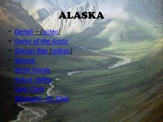
Alaska’s Landscape is Changing Wildlife Forests Ecosystems
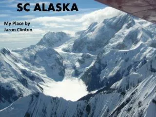
Alaska’s Landscape is Changing Glaciers
Alaska’s Landscape is Changing Infrastructure
PERMAFROST THAW 90,000 PEOPLE IN ALASKA LIVE ON PERMAFROST