Download
1 / 44
440 likes | 466 Views
Explore how Chicago's road system, akin to a Cartesian plane, can be represented using polar coordinates. Learn to convert between rectangular and polar coordinates with real-world examples like finding Wrigley Field's location. Discover how to transform coordinates to navigate efficiently.

E N D
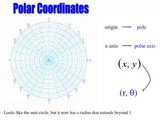
Section 5.1 Polar Coordinates
Polar Coordinates – Application • In Chicago, the road system is set up like a Cartesian plane, where streets are indicated by the number of blocks they are from Madison Street and State Street
Polar Coordinates – Application • In Chicago, the road system is set up like a Cartesian plane, where streets are indicated by the number of blocks they are from Madison Street and State Street • For example, Wrigley Field in Chicago is located at 1060 West Addison, which is 10 blocks west of State Street and 36 blocks north of Madison Street
Polar Coordinates – Application • Treat the intersection of Madison Street and State Street as the origin of a coordinate system, with East being the positive x-axis
What are the rectangularcoordinates of Wrigley Field? 36 blocks North 10 blocks West
What are the rectangularcoordinates of Wrigley Field? 36 blocks North Wrigley Field Rectangular Coordinates(-10, 36) 10 blocks West
Polar Coordinates - Application • Transform the rectangular coordinates to polar coordinates