Download
1 / 28
280 likes | 387 Views
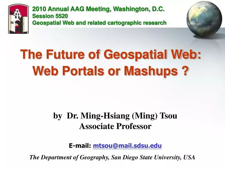
2010 Annual AAG Meeting, Washington, D.C. Session 5520 Geospatial Web and related cartographic research. The Future of Geospatial Web: Web Portals or Mashups ?. by Dr. Ming-Hsiang (Ming) Tsou Associate Professor E-mail: mtsou@mail.sdsu.edu.

E N D
2010 Annual AAG Meeting, Washington, D.C. Session 5520 Geospatial Web and related cartographic research The Future of Geospatial Web: Web Portals or Mashups ? by Dr. Ming-Hsiang (Ming) Tsou Associate Professor E-mail: mtsou@mail.sdsu.edu The Department of Geography, San Diego State University, USA
Please Vote! Bizarre Map Challengeshttp://bizarremap.sdsu.edu/
1602 World Map by Matteo Ricci. The First Map in Chinese to Show the “Americas” Visited Library of Congress Washington D.C.
Matteo Ricci 利瑪竇坤輿萬國全圖 created in 1602 1507 America's Birth Certificate by a German cartographer Martin Waldseemüller, the first map to bear the name "America"
Everyone can read the 1507 America's Birth Certificate from their Desktops! (use JPEG 2000 compression) Access from Web viewers Or local viewer – where to find the viewer?
Can we read the “digital map” from this floppy disk today? Mapping Technology will change after … 20 years? 100 years? 500 years?
Geospatial Web (the next generation of Internet, and World Wide Web) Enables Knowledge Sharing and Archive Geospatial cyberinfrastructure integrates high-performance computing resources, interoperable Web services, and sharable geographic knowledge to facilitate the advancement of geographic information science (GIScience) research, geospatial technology, and geographic education. (Zhang and Tsou, International Journal of Geographical Information Science, 2009) Grid computing Cloud computing Web portals
Endorsement by the Father of the World Wide Web, Tim Berners-Leehttp://www.ted.com/talks/tim_berners_lee_the_year_open_data_went_worldwide.html (TED video Five minutes)
Server-sides: Cloud computing + Grid computing High performance data centers + Grid visualization, and storage resources The Future of Geospatial Cyberinfrastructure Map Services Data Services Analysis Services High speed Internet client-sides: Web Portals + Mashups Collaboration
Web Portal Technical Framework
Web Portals: Enable Web Service Chains. (linking data flows and functions) (One at a time)
Mashups (hybrid web services)(Combine all functions / services together at once) - Synergy Map Browsers Mash-up Maps Map Server -A Map Server-B Data Server-C Show up all together (hybrid functions) Map Users Can add more contents to Mashup Maps (Volunteer Geographic Information – VGI)
Mashup Example: MAPS http://geoinfo.sdsu.edu/maps/ (developed by Jung, Chin-Te)
MAPS Mashup FrameworkCombine Google Docs / Google Maps / ArcGIS Web Services ArcGIS Server Web Services
Baja-Eco-Info Mapping ToolHTTP://geoinfo.sdsu.edu/baja (developed by Ick Hoi Kim)
Water Quality: Google Map MarkerGIS layers: ArcGIS Server Mapping Services
Spatial Query functions in Google Map and change backgrounds
Web Portals vs. Mashup Web portals: • PRO: help us accomplish very complicated GIS tasks, spatial analysis, and data search/archiving/sharing. • CON: difficult to implement, expensive. Mashups: • PRO: help us to combine multiple information / services together, very flexible, and easy to create. • CON: lack of cartographic design and major GIS analysis functions.
Future …. Co-Exist… Peace fully… Web Portals for governments, scientific communities.\ (Closer link to Grid computing – High performance) Mashup for small business, public outreach, media, personal use, and funs! (Closer link to Cloud computing – Google Docs, etc.) Or Web Portals + Mashups? = MashPortal (Mash potato?)
Thank You Q & A • mtsou@mail.sdsu.edu