Download
1 / 11
110 likes | 287 Views
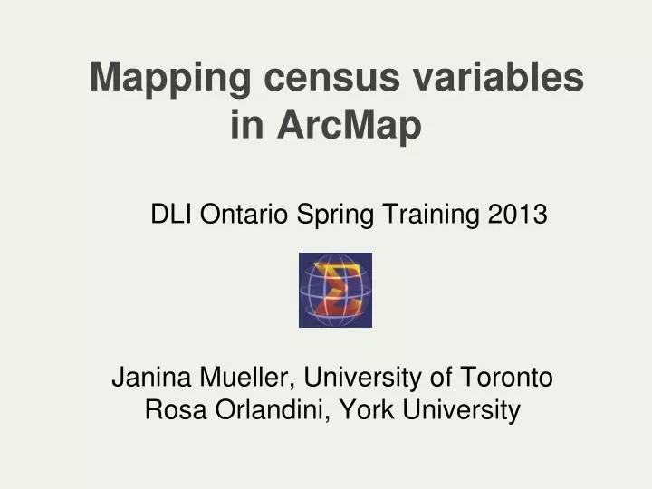
Mapping census variables in ArcMap. DLI Ontario Spring Training 2013. Janina Mueller, University of Toronto Rosa Orlandini, York University. Outline. Thematic mapping of census data Activity 1 : Population Density Mapping

E N D
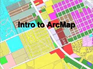
Mapping census variables in ArcMap DLI Ontario Spring Training 2013 Janina Mueller, University of Toronto Rosa Orlandini, York University
Outline • Thematic mapping of census data • Activity 1: Population Density Mapping • Activity 2: Basics of Mapping Quantitative Variables (Thematic Mapping)
What you need to map census data 1) Aggregated census data (Census Analyser) 2) Geography boundary files for census geographies (Statistica Canada) 3) GIS Software (e.g. ArcMap or QGIS)
Census tracts Toronto Yellow Cartographic boundary file Green Digital boundary file Blue Coastal Water file
Handout for Exercise 1: http://maps.library.utoronto.ca/datapub/ workshops/Exercise1.pdf
http://maps.library.utoronto.ca/datapub/ workshops/exercise1data.zip
Hands-on activity 1 Create a printable map with a legend showing population density per census tract for the CMA of Toronto, for both the 2006 and 2011 census.
Hands-on activity 2 Learn different methods of data visualization using census data from the 2011 census.
Access the data at: maps.library.utoronto.ca/datapub/workshops/ exercise2data.zip Access the handout at: maps.library.utoronto.ca/datapub/worshops/ Exercise2.pdf
Handouts http://maps.library.utoronto.ca/datapub/worshops/ Exercise1.pdf http://maps.library.utoronto.ca/datapub/worshops/ Exercise2.pdf http://maps.library.utoronto.ca/datapub/workshops/ exercise2data.zip