Download
1 / 27
270 likes | 449 Views
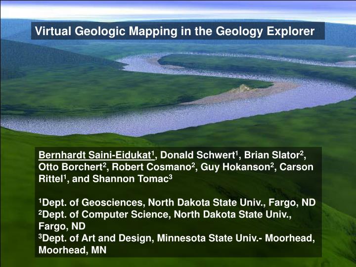
Virtual Geologic Mapping in the Geology Explorer. Bernhardt Saini-Eidukat 1 , Donald Schwert 1 , Brian Slator 2 , Otto Borchert 2 , Robert Cosmano 2 , Guy Hokanson 2 , Carson Rittel 1 , and Shannon Tomac 3 1 Dept. of Geosciences, North Dakota State Univ., Fargo, ND

E N D
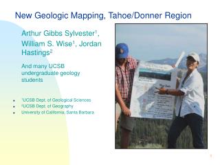
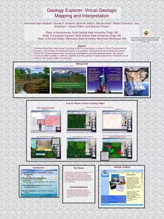
Virtual Geologic Mapping in the Geology Explorer Bernhardt Saini-Eidukat1, Donald Schwert1, Brian Slator2, Otto Borchert2, Robert Cosmano2, Guy Hokanson2, Carson Rittel1, and Shannon Tomac3 1Dept. of Geosciences, North Dakota State Univ., Fargo, ND 2Dept. of Computer Science, North Dakota State Univ., Fargo, ND 3Dept. of Art and Design, Minnesota State Univ.- Moorhead, Moorhead, MN
NDSU WWWIC World Wide Web Instructional Committee Paul Juell Donald Schwert Philip McClean Brian Slator Bernhardt Saini-Eidukat Alan White Jeff Clark Lisa Daniels WWWIC faculty supported by large teams of undergraduate and graduate students WWWIC’s virtual worlds research supported by NSF grants DUE-9752548, EAR-9809761, DUE-9981094, ITR-0086142 and EPSCoR 99-77788, and FIPSE P116B011528
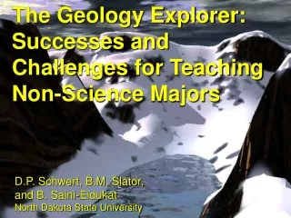
The Geology Explorer Project Educational Game designed to provide authentic learn-by-doing experience •Exploration of a spatially oriented virtual world •Practical, field oriented, expedition planning and decision making •Scientific problem solving (i.e., a “hands on” approach to the scientific method)
Balancing Pedagogy with Play Games have the capacity to engage! • Powerful mechanisms for instruction • Illustrate real-world content and structure • Promote strategic maturity (“learning not the law, but learning to think like a lawyer”)
Technical Approach • Networked, internet based, client-server simulation • UNIX-based MOO (Multi-User Dungeon, Object Oriented) • Java-based clients (text and graphical versions)
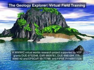
The Setting •Planet Oit - similar to Earth, but opposite the Sun •Students “land” on Oit to undertake exploration •Authentic Geoscience goals - e.g., to locate, identify, and report valuable minerals
The Simulation ~50 places: desert, cutbank, cave, etc. ~100 different rocks and minerals ~15 field instruments: rock pick, acid bottle, magnet, etc. ~Software Tutors: agents for equipment, exploration, and deduction
Carrying out Investigations: Players Identify Outcrops Using Tests Detail Images for Samples Results of Tests (in this case, acid reactivity)
Example of Programming Actions: Acid Bottle: "pour acid bottle on substance" Coarse-grained rocks Minerals Fine-grained rocks Other objects If the property acid_reactive is 2, the mineral fizzes actively when acid is poured on it. If the property acid_reactive is 1, and a powder is made of the mineral, the powder will fizz actively. If the acid_reactive property is 0, the mineral does not fizz. If the rock contains more than 10% calcite, it fizzes actively when acid is poured on it. If the rock contains between 0 and 10 percent calcite, its powderized form will fizz. Also, if the rock contains more than 25% dolomite, its powder will fizz actively. Finally, if the rock contains no calcite or dolomite, it will not fizz. Because each mineral in the rock can be distinguished, the test can be performed on each mineral. Each returns whether it is acid reactive or not. Most other objects in the game have a acid_reactive property of 0. Pouring acid on them will cause them not to fizz. Players are an exception to this rule. You are unable to pour acid on other players.
Intelligent Software Tutoring Agents are Needed in Virtual Environments: Students/players interact with the intelligent tutoring agents Players can ignore advice and carry on at their own risk • Deductive Tutors • Equipment tutor • Exploration tutor • Science tutor • Detects when a student makes a wrong guess and why (i.e. what evidence they are lacking); or when a student makes a correct guess with insufficient evidence (i.e. a lucky guess)
Virtual Mapping and Petrology Module LS Marble Dike LS Marble SS Qzite SS Qzite SS Qtzite Qzite SS Schist 1 Sch2 Sch2 Gneiss Schematic map - not to scale
Virtual Mapping and Petrology Module LS Marble Dike Marble LS SS Qzite SS Qzite SS Qtzite Qzite SS Schist 1 Sch2 Sch2 Gneiss First Set of Goals • Locate yourself and outcrops using topo maps and aerial photos • General rock identification • Begin creating a Geologic Map
Virtual Mapping and Petrology Module Tutorials on Concepts of Geologic Mapping are Available in the Environment A Player (appearance can be changed)
Virtual Mapping and Petrology Module Base Maps for Adding Data and Creating a Geologic Map “aerial photo”
Virtual Mapping and Petrology Module Base Maps for Adding Data and Creating a Geologic Map Topographic map
Virtual Mapping and Petrology Module Outcrop Locations are Shown with Markers You Are Here Rock Type Markers Show Locations of Identified Outcrops
Virtual Mapping and Petrology Module Player Creates a Geologic Map Based on Outcrop Locations, and Can Get Immediate Feedback
Virtual Mapping and Petrology Module LS Marble Dike Marble LS SS Qzite SS Qzite SS Qtzite Qzite SS Schist 1 Sch2 Sch2 Gneiss Intermediate Goal • Put Geologic Events in a Reasonable Order Advanced Goals (in development) • Identify the Metamorphic ‘basement’ rocks • Use Thin Sections for Rock Identification • Microprobe Analyses of Relevant Minerals • Thermobarometry
Efficacy shown by controlled experiments Fall Semesters 1998 - 2002 >400 students in large non-major Intro Geo class, split into 3 groups • Planet Oit • Web-based (alternative) exercise • Control (non-participant)
Subjective Assessment Rejects the notion of standardized multiple choice tests Pre-game narrative-based survey • short problem-solving stories • students record their impressions and questions Similar post-game survey with different but analogous scenarios Surveys analyzed for improvement in problem-solving
The Geology Explorer: Assessment Protocol Pre-course Assessment: 400+ students Example: Fall, 1998 Computer Literacy Assessment: (244 volunteers) Divide by Computer Literacy and Geology Lab Experience Geology Explorer Treatment Group: (122 students) Geomagnetic (Alternative) Group: (122 students) Non-Participant Control Group: (150 students, approx.) Completed (78 students) Non-completed (44 students) Completed (95 students) Non-completed (27 students) Post-course Assessment: 368 students
Mean Post-Intervention Scenario Scores for 1998 Geology Explorer - NDSU Physical Geology Students Grader Grader Grader Group No. One Two Three Alternate 95 29.3a 27.0a 42.6a Control 195 25.1a 25.5a 44.5a Planet Oit 78 40.5b 35.4b 53.4b Within any column, any two means followed by the same letter are not significantly different at P=0.05 using Duncan’s multiple range mean separation test.
Mean Post-Intervention Scenario Scores for 1999 Geology Explorer - NDSU Physical Geology Students Group Pre Post Alternate 11.0a 36.8a Control 13.1a 36.7a Planet Oit 9.07a 47.5b Within any column, any two means followed by the same letter are not significantly different at P=0.05 using Duncan’s multiple range mean separation test.
Conclusions Implementation: • Networked, Multi-player • Simulation-based • Interactive • Multi-media, highly graphical Educational virtual environments can provide: • Authentic Experiences • Active Learning And are valuable adjuncts to traditional learning
http://oit.ndsu.edu World Wide Web Instructional Committee (WWWIC) North Dakota State University Fargo ND