Download
1 / 12
120 likes | 307 Views
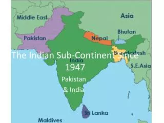
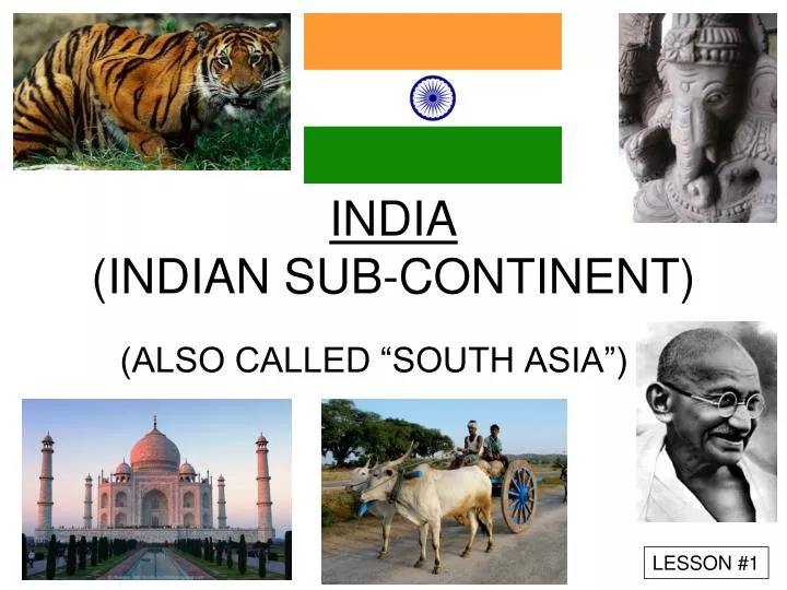
INDIA (INDIAN SUB-CONTINENT). (ALSO CALLED “SOUTH ASIA”). LESSON # 1. Where is SOUTH ASIA??. Circle the location. http://www.askasia.org/image/maps/asias1.htm. MOUNTAINS of INDIA. HIMALAYAS. HINDU KUSH. WESTERN GHATS. EASTERN GHATS. The Himalayas. Northern Barrier of South Asia

E N D
INDIA(INDIAN SUB-CONTINENT) (ALSO CALLED “SOUTH ASIA”) LESSON #1
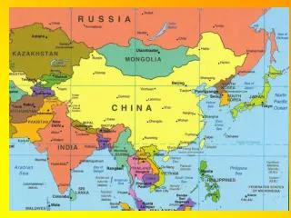
Where is SOUTH ASIA?? Circle the location http://www.askasia.org/image/maps/asias1.htm
MOUNTAINS of INDIA HIMALAYAS HINDU KUSH WESTERN GHATS EASTERN GHATS
The Himalayas • Northern Barrier of South Asia • World’s Tallest Peaks • Mt. Everest - 29, 035 feet) http://www.peakware.com/encyclopedia/peaks/everest.htm
Influence of Mountains: Look at the locations of the mountains. How do you think they had an affect on… Where people live in India… Why Indian culture is SO different… Why India is so HOT…
Rivers of South Asia: • Ganges River • (Gang-ga) • large delta • pollution • trade • irrigation • transportation • religion http://www.asd.k12.ak.us/schools/romig/asia/Geo/ganges/geography.html
INDUS RIVER • Fertile Land (Pakistan) • Earliest Civilizations in region Mohenjo-Daro Harappa
CLIMATE of SOUTH ASIA • Regions are varied: • Tropical Wet and Dry • Desert • Highlands
MONSOONS What IS a monsoon? Click – news report on Monsoon in Pakistan Put your own answer here Click (Explanation)
MONSOONS • “Season” (Arabic) • Summer Monsoon (Wet) • Winter Monsoon (Dry) Types of Monsoons Click – description AND film of damages
Physical Features Indus River Ganges River Western Ghats Eastern Ghats Himalaya Mountains Hindu Kush Mountains Bay of Bengal Arabian Sea Indian Ocean Draw in the rivers For mountains, draw in the upside down VVV Use the Global Mosaic text book, pages: 159 164 204 210
Political locations Cities Delhi / New Delhi Calcutta (Kolcutta) Bombay (Mumbai) Madras (Chennai) Amritsar Surrounding nations Sri Lanka Iran Pakistan Afghanistan China Nepal Bhutan Bangladesh Myanmar (Burma) Kashmir (a region within India)