Download
1 / 6
60 likes | 178 Views
Natural Resource Analysis Center. Agency Roll Call Presentation May 12, 2004 West Virginia GIS Conference & Workshops. Mission and Geospatial Context. Mission statement:

E N D
Natural Resource Analysis Center Agency Roll Call Presentation May 12, 2004 West Virginia GIS Conference & Workshops
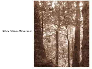
Mission and Geospatial Context Mission statement: The Natural Resource Analysis Center (NRAC) provides research, teaching, and public service in environmental and natural resource issues with a geospatial context for the state of West Virginia and the surrounding Mid-Atlantic Highlands region.
NRAC Geospatial Datasets Primary Steward: • West Virginia GAP Analysis datasets • Various aerial photography datasets • Stream segment-level watersheds Supplementary Steward: • National Hydrography Dataset (NHD) data and associated value-added products
Statewide Participation with NRAC NRAC welcomes cooperative projects with interested members of the geospatial community. Fields of interest include: • Economic development • Remote sensing • Landscape analysis • Decision support • Watershed modeling NRAC also offers ArcGIS training by an ESRI Authorized ArcGIS Instructor and is an ESRI Authorized Learning Center. For more information, please refer to www.nrac.wvu.edu.
Recent NRAC Accomplishments • Completion of several statewide map layers: • National Hydrography Dataset (NHD) surface water features • Stream segment-level watershed delineation • Current coal mining permits for WVDEP • Adaptation of NRAC water quality modeling tools to ArcGIS 8.3: • Watershed Modeling and Characterization System (WCMS) • Cumulative Hydrologic Impact Analysis (CHIA) tools • Significant progress in water quality model development: • HSPF coefficient development • Acid Mine Drainage component for HSPF 12 • Cacapon Land Trust Decision Support System development
Upcoming NRAC Goals • Continued improvement in water quality mapping tool development for West Virginia. • Expanded availability of Internet mapping services through the NRAC web server. • Use of hyperspectral and high resolution aerial imagery for mapping and detection of invasive plant species.