Download
1 / 84
860 likes | 1.1k Views
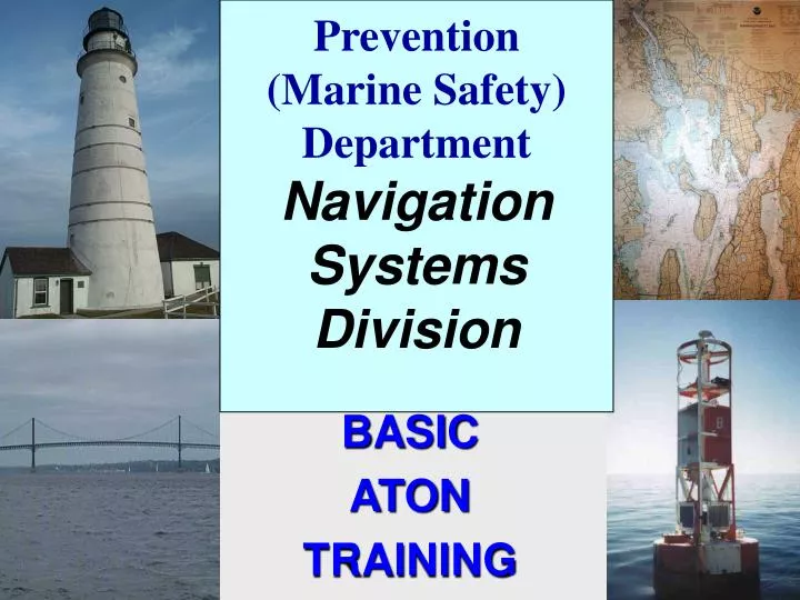
Prevention (Marine Safety) Department Navigation Systems Division. BASIC ATON TRAINING. Basic ATON Training Today’s Subject Agenda. Basic ATON Training. ATON Discrepancy Review. Getting AUXDATA credit for AN Activity. AtoN Training Objectives.

E N D
Prevention (Marine Safety) Department Navigation SystemsDivision BASIC ATON TRAINING
Basic ATON TrainingToday’s Subject Agenda • Basic ATON Training. • ATON Discrepancy Review. • Getting AUXDATA credit for AN Activity.
AtoN Training Objectives 1. Review the definitions for the various Federal and Private Aids to Navigation. 2. Understand why AtoNs are established. 3. Understand the specific purpose of the various AtoNs. 4. Become familiar with the flash characteristics used on AtoNs.
AtoN Operational Objectives 1. Ahigh level of professionalismrequired on the part of each NS Team member. 2. Accurate and complete AtoN reportsto the Coast Guard. 3. A high level of quality datato increase the credibility of our AtoN Program. 3. Reports forwarded to the Coast Guard in atimely manner.
TERMINOLOGY UPDATE AtoN– FEDERAL SHORT RANGE AID TO NAVIGATION.PAtoN– PRIVATE AID TO NAVIGATION.
ATON System Definitions IALA- International Association ofLighthouse Authorities. Divides the world into 2 regions: Region “A”: Most of the World Region “B”: North & South America, Japan, Korea, and the Philippines.
AtoN System Modes Region “A” • Green Even Triangles • Red Odd Squares
AtoN System Names U.S. Marking System Intracoastal Waterway System Western River System
U. S. Marking System Lateral System: Employs a simple arrangement of . . . 1.colors, 2. numbers,and 3. shapes, and when you can’t see theshape,, light colors and light characteristics. . . . to show on which side an aid should be passed when proceeding in the Conventional Direction of Buoyage. “Red Right Returning from the sea”
Conventional Directionof Buoyage in channels: • Numbering starts at seaward and increases toward the shore. • Numbering starts at the mouth of rivers and increases upstream. • Numbering is clockwise around islands.
Conventional Directionof Outer Buoys • Purpose: To identify how aids should be passed in areas other than channels. • Regions: • Atlantic Coast: Southerly • Gulf Coast:North and Westerly • Pacific Coast:Northerly • Great Lakes:North and Westerly(Lake Michigan: Southerly)
Definition of an Aid to Navigation Any device, external to a vessel, intended to assist mariners to: a. Determine their position, b. Determine a safe course, or c. To warn them of dangers or obstructions to navigation.
Definition of a Buoy Any unmanned, floating aid to navigation that is moored to the seabed. May be lighted or unlighted. The seabed is owned by the Corps of Engineers (USACE) and is licensed to the Coast Guard who deploy ATONs and authorize private parties to deploy PATONs.
Definition of a Beacon Any fixed aid to navigation located on a shore or marine site. Lighted beacons are calledLights. Unlighted beacons are called DaybeaconsorDaymarks.
Definition of a Daymark The daytime identifier of an aid to navigation presenting one of several colors, shapes, numerals or letters. The shape may be a square, triangle, rectangle, diamond or octagon.
2 Unlighted Red Daymark Is there anything wrong with this daymark? 2
Starboard Lateral Marks Color:Red Shape:Triangular or conical—nuns. Character:Even Numbers Light:Red
Port Lateral Marks Color:Green Shape:Square / Cans Character:Odd Numbers Light:Green
7 Unlighted Can Buoy It should have a white number. Is there anything wrong with this can buoy?
3 Unlighted Green Daymark It should have a contrasting GREEN number. Is there anything wrong with this daybeacon?
9 10 2 1 7 8 5 6 3 2 3 1 2
A Preferred Channel Marks Purpose:Marks junctions / bifurcations Description: Color:Red&Greenhorizontally banded (The top color band is for the preferred channel) Shape:Same as for the preferred channel (Use the uppermost band in preferred channel) Character:Letter not number. Light:Same color as uppermost band. Characteristic:Gp Fl (2+1) 6s
JUNCTION Two channels join to form one channel. Preferred channel buoy is placed upstream. BIFURCATION One channel splits to form two channels. Preferred channel buoy is placed downstream. CROSSING One channel crosses another channel. No requirement to mark all four corners.
In the main (primary or preferred) channel, pass these buoys on yourport side(to your left)when returning from the sea.In the secondarychannel, pass these buoys on yourstarboard side (to your right)– “RedRight Returning from the sea.”
9 10 2 1 7 8 5 6 3 2 3 1 2
SafeWaterMark • Purpose:Indicates navigable water all around the mark. • Description: • Color:Red and White vertically striped. • Shape:Sphere or Buoy with Topmark. • Character: White letters. (ex. “NC” North Channel) • Light Color:White • Characteristic:Mo(A)
Safe Water Marks MR Spherical Lighted and or sound
Isolated Danger Mark • Purpose:Marks isolated dangers or obstructions that can be passed on all sides • Description: • Color:BlackandRedhorizontal bands. • Shape:Buoy with two black top marks. • Character:White Lettering – no numbers. • Light:White. • Light Characteristic:Gp Fl (2) 5s.
Special Purpose Aids Purpose:Not intended to assist safe navigation but to indicate special areas marked on charts (anchorages, traffic separation schemes, data gathering, etc) Description: • Aid Color:Yellow. • Aid Shape:Various. • Characters:Black lettering, no numbers. • Light Color:Yellow • Light Characteristic:Fixed, Flashing (except Mo A, 2+1, Qk)
Regulatory and Information Marks Purpose:Alert the mariner to such things as submerged pipes, no wake zones, etc. Description: Aid Color:White withorangeband or border. Shape:Square, Round, or Diamond. Character:Lettering (black, usually words) Light Color:White Light Characteristic: Any flash not otherwise already reserved.
Regulatory and Information Marks Diamond- means danger and words may appear explaining the danger. Called aDanger Buoy Circle- means restricted operations. Speed Buoys (5 MPH) or No Wake Buoys. Diamond with a Cross- tells you that vessels are not allowed in the area. CalledExclusion Buoys Square- contains directions for the boater. Bridge Regulatory Signs.
DANGER Regulatory and Information Marks Restricted Operations DANGER Exclusion Area If lighted White only