Download
1 / 26
260 likes | 464 Views
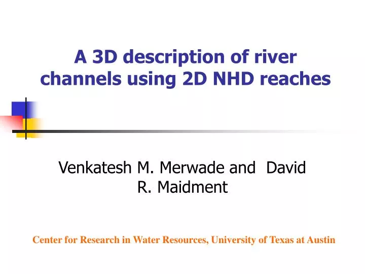
A 3D description of river channels using 2D NHD reaches. Venkatesh M. Merwade and David R. Maidment. Center for Research in Water Resources, University of Texas at Austin. Overview. Motivation Objective Data collection and representation Conceptual Model GIS framework

E N D
A 3D description of river channels using 2D NHD reaches Venkatesh M. Merwade and David R. Maidment Center for Research in Water Resources, University of Texas at Austin
Overview • Motivation • Objective • Data collection and representation • Conceptual Model • GIS framework • Results and Conclusions
Priority segments (100s of miles long) Study area Motivation: Instream flow studies in Texas Extrapolation of channel bathymetry at regional scale
Objective • Based on the knowledge gained from a detailed dataset collected for a reach of river, develop a framework for describing the 3D river channel form at regional scale.
In other words… Now, we have blue lines We need the ability to produce a 3D description
Data collection GPS Antenna Depth Sounder
Data representation Profile lines and cross-sections Points
Meandering shape Thalweg location Cross-section form C C C C B B B B A A A A Conceptual Model
4 1 2 3 The GIS framework • Get the shape from the Blue lines • Using the shape, locate the thalweg • Using thalweg location, create cross-sections • Network of cross-sections and profile lines
Site1 and Site2 on Brazos River @ 5 miles @ 30 miles The data for Site 1 and Site 2 are available as (x,y,z) points.
nL nR 0 - + Z P(ni, zi) d Zd w = nL + nR Normalizing the data For any point P(ni,zi), the normalized coordinates are: nnew = (ni – nL)/w znew = (Z – zi)/d For nL = -15, nR = 35, d = 5, Z=10 P (10, 7.5) becomesPnew(0.5, 0.5)
Normalized Data Original cross-section Modified cross-section Depth and width going from zero to unity makes life easier without changing the shape of the original cross-section
Shape characterization through radius of curvature • Ifradius of curvature is small, the thalweg is close to the bank. • If the channel meanders to left, the center of curvature is to the right hand side of the centerline and vice versa. • When the center of curvature is to the right, the radius of curvature is considered positive and vice versa r1 r3 c1 c2 r2 c3
Y = 0.076*log(x) + 1.21 0 0.5 1.0 Y = 0.087*log(x) – 0.32 Locating thalweg using the shape
Thalweg and cross-section • Cross-section should have an analytical form to relate it to the thalweg • Many probability density functions (pdf) have shapes similar to the cross-section • Beta pdf was found feasible • its domain is from zero to one • it has only two parameters (a,b)
Cross-sections as beta pdfs beta c/s = (beta1 + beta2) * k a1=5, b1=2, a2=3, b2=3, factor = 0.5 a1=2, b1=2, a2=3, b2=7, factor = 0.6 Create beta cross-sections for different thalweg locations
The final framework • Start with a blue line (s), locate the thalweg (t) using the relationship,t = f(s). • Using t, describe cross-sections (c) using the relationship, c(a,b) = f(t). • The resulting cross-sections have a unit width and unit depth. • Rescale the normalized cross-sections using width and depth (hydraulic geometry)
Lower Guadalupe in Texas Model parameters are changed and are related to sinuosity
Bryan Hempstead Richmond Rosharon Regional Application (300 miles along Brazos River!) To study how frequently the oxbow lakes are replenished (1D hydraulic modeling) Study area Hydraulic Geometry + DOQs
Summary • The GIS framework provides a mean surface for the channel bed. • Analytical model is useful for describing channel bathymetry at regional scale. • Caution! while using the framework. • Additional features need to be added (pools and riffles). • The framework should be verified in other areas.
Courtesy: Texas Water Development Board Venkatesh Merwade vmmerwade@mail.utexas.edu http://webspace.utexas.edu/vmm2675/www/