Download
1 / 17
230 likes | 1.28k Views
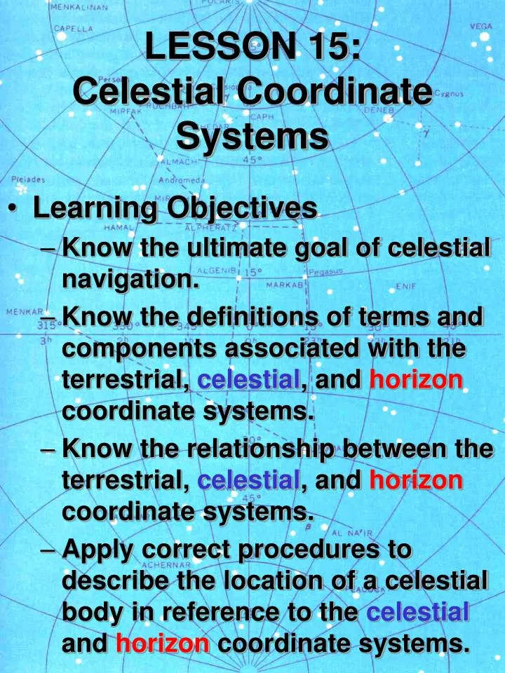
LESSON 15: Celestial Coordinate Systems. Learning Objectives Know the ultimate goal of celestial navigation. Know the definitions of terms and components associated with the terrestrial, celestial , and horizon coordinate systems.

E N D
LESSON 15:Celestial Coordinate Systems • Learning Objectives • Know the ultimate goal of celestial navigation. • Know the definitions of terms and components associated with the terrestrial, celestial, and horizon coordinate systems. • Know the relationship between the terrestrial, celestial, and horizon coordinate systems. • Apply correct procedures to describe the location of a celestial body in reference to the celestial and horizon coordinate systems.
The Goal of Celestial Navigation • The solution of spherical triangles of sides based on the observed positions of celestial bodies, in order to determine the position of a vessel. • 100 years ago, this involved some complicated spherical trigonometry. • Today, it requires the use of tables or a navigational calculator (HP makes one).
1. Terrestrial Coordinate System • A quick review:
Basic Assumptions • First, assume the earth does not move, but instead the celestial bodies rotate about it in a predictable manner. • The celestial sphere: celestial bodies are assumed to be on the inner surface of a vast, hollow sphere of infinite radius, which has the earth at its center.
2. Celestial Coordinate System • The celestial coordinate system is best understood as a projection of the terrestrial coordinate system, outward into space onto the celestial sphere.
Celestial Coordinate System • Celestial Equator (Equinoctial) • Celestial Meridians • Hour Circles • Hour Circle of Aries • Declination • celestial equivalent of latitude • Hour Angles • celestial equivalent of longitude
Hour Angles • Three different references are used: • Sidereal Hour Angle (SHA) • Hour Circle of a celestial body, as referenced from the hour circle of Aries (measured westerly) • Greenwich Hour Angle (GHA) • Hour circle of a celestial body, as measured relative to Greenwich Celestial Meridian • Local Hour Angle (LHA) • Hour circle of a celestial body, as measured relative to the local celestial meridian
Hour Angles GHA = GHA(Aries) + SHA
3. Horizon Coordinate System • In the terrestrial and celestial coordinate systems, the basic references are the poles and the equator. • The horizon coordinate system, however, is based on the observer’s position. • This system is necessary because stars are sighted with respect to the observer’s position.
Horizon Coordinate System • Zenith and Nadir • analogous to north and south poles • Vertical Circle • analogous to meridian (terrestrial system) or hour circle (celestial system) • Prime Vertical (east and west) • Principal Vertical (north and south)
Horizon Coordinate System • Celestial Horizon • analogous to the equator • True Azimuth (Zn) • analogous to longitude • Altitude • analogous to latitude • Sextant Altitude (hs) • Measured altitudes of celestial bodies • Visible or Sea Horizon • Used as a reference for celestial body altitude measurements • Observed Altitude (Ho) • Conversion of Sextant Altitude, since sea horizon is not at celestial horizon.
The Celestial Triangle • These three coordinate systems (TERRESTRIAL, CELESTIAL, AND HORIZON) are then combined to form the celestial triangle, which is used to determine our position. • One leg from each triangle forms the new triangle on the celestial sphere.
The Celestial Triangle • Azimuth Angle (Z) • Meridian angle (t)