Download
1 / 11
110 likes | 528 Views
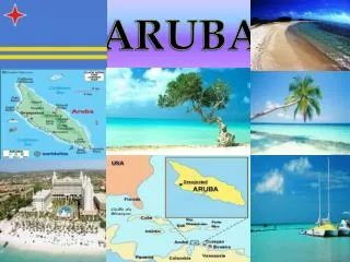
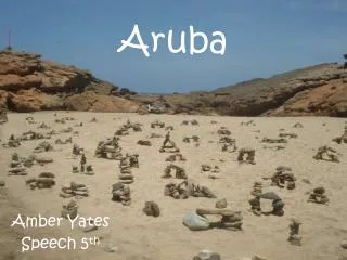
Aruba. By Zytlaly Delgado. Geography Of Aruba. The island of Aruba is part of the West Indies in the Caribbean Sea It lies about 12 degrees north of the equator, about 18 miles off the Paraguana Peninsula of Venezuela. . Climate.

E N D
Aruba By Zytlaly Delgado
Geography Of Aruba • The island of Aruba is part of the West Indies in the Caribbean Sea • It lies about 12 degrees north of the equator, about 18 miles off the Paraguana Peninsula of Venezuela.
Climate The climate is tropical, with an average temperature of 82 degrees Fahrenheit. Yearly rainfall usually does not exceed 20 inches . Aruba lays outside the Caribbean hurricane belt.
History and Culture • The first people to inhabit the island were a nation of Arawak Indians called the Caiquetios who migrated north from the Orinoco Basin in South America and settled here about 2000 years ago. • In 1499, the Spanish explorer Alonso de Ojeda made his way to this remote corner of the Caribbean Basin and laid claim to the territory for Queen Isabella. According to one tradition, he called the place Oro Hubo meaning there was gold there, but they changed it to Aruba.
The island’s population is about 112,000 The capital is Oranjestad, named after the Dutch Royal Houses of Orange. Natural Bridge, it is 23 feet above sea level and spans more than 100 feet. The bridge was a formation of coral limestone cut out by years of pounding surf
Aruba's capital, Oranjestad, is on the southwestern coast. It is the seat of the government and has a growing number of hotels. Cruise ships, shopping malls, and tourists dominate the street scene. • In the traditional menu dishes is goat meat, fish, and Stoba • Nowadays, rice, chicken, beef, and fish are eaten most Stoba Goat Meat
The traditional language is Papiamento. • Dutch is the official language in education and public affairs. The oil industry, tourism, and subsequent migration brought English and Spanish to the island and those are the second and third most spoken languages. • Life expectancy is 71 years for men and 77 years for women.
Government • The governor of Aruba is the head of the Aruban government and the local representative of the Dutch monarch. The Netherlands' Council of Ministers consists of the Dutch cabinet and two ministers plenipotentiary, one representing Aruba and the other the Netherlands Antilles. The council is in charge of joint foreign policy, defense and justice, and the safeguarding of fundamental rights and freedom.
Religion • Eighty-six percent of the population is Roman Catholic but church attendance is much lower. • Twentieth century migration led to the appearance of smaller groups such as Methodists, Anglicans, Evangelists, Jews, and Muslims.
The Flag • Aruba’s flag was officially adopted on March 18, 1976, along with official anthem “Aruba DushiTera.” The blue represents the sea that surrounds Aruba; yellow is the color of abundance; red is for love; and white is for their pristine beaches.
Sources • www.aruba.com/the-island/culture • www.visitaruba.com/about-aruba/general-aruba • www.everyculture.com/A-Bo/Aruba • www.geographia.com/aruba/history.htm