Download
1 / 24
240 likes | 258 Views
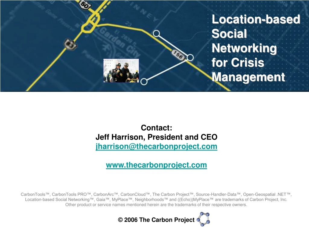
Location-based Social Networking for Crisis Management. Contact: Jeff Harrison, President and CEO jharrison@thecarbonproject.com www.thecarbonproject.com.

E N D
Location-based Social Networkingfor Crisis Management Contact: Jeff Harrison, President and CEO jharrison@thecarbonproject.com www.thecarbonproject.com CarbonTools™, CarbonTools PRO™, CarbonArc™, CarbonCloud™, The Carbon Project™, Source-Handler-Data™, Open-Geospatial .NET™, Location-based Social Networking™, Gaia™, MyPlace™, Neighborhoods™ and ((Echo))MyPlace™ are trademarks of Carbon Project, Inc. Other product or service names mentioned herein are the trademarks of their respective owners.
Key Concepts Location-based Content CarbonCloud & Ad hoc Networks Sharing Content Neighborhoods Friends Smart Search
Location-based Content • Location-based content (referred to as geospatial) is widespread. • Some estimate that as much as 90% of all digital content has some degree of ‘location’ reliance in it. • This type of digital content is all around us – GPS, digital photos, mapping services, air-traffic data, electricity grids, real estate and bank transactions, defense and intelligence and more….
Carbon Project Mission… • .NET Developer Tools that make location-based content accessible and usable to everyone, everywhere, including the CarbonTools™ extension to the .NET Framework 2.0. • Government and Security Solutions, including Gaia™, CarbonArc™ and geospatial interoperability engineering services. • Location-based Social Networking™, including ((Echo))MyPlace™ and CarbonCloud™, the first peer-to-peer (P2P) framework for sharing location content.
I ♥ Garden City • Connecting people and places. • Sharing and finding location-based information about your neighborhood. • Connecting directly with friends and neighbors. • Powered by CarbonTools and the CarbonCloud framework.
CarbonTools? • Enhancement to the .NET framework • Geospatial interoperability toolkit • Robust and extendible toolto develop geosocial applications
What’s CarbonCloud? • World’s first P2P framework designed to allow people to share and find experiences about places. • No server or web-site involved, the connected computers is all it takes!
Ad hoc & survivable networks • CarbonCloud P2P technology enables connections directly between users’ computers. • Instantly share notes, digital photos and maps in safe/secure environment • No server or web-site involved, the connected computers is all it takes. • Functions even if Internet connection is lost or disabled during crisis. • Unique Internal Caching tools let you work with Framework Data online, or offline - pan, zoom and work with your location content while offline.
CarbonCloud - creating content -77.0515,38.8728 This Place is Awesome! Mallory’s digital camera with geostamped pictures of Garden City
Mallory Shares her Note… …Beth searches CarbonCloud over Garden City and finds Mallory’s Note Thanks! CarbonCloud - sharing content Mallory Beth
Forming Neighborhoods • Basic unit for sharing experiences about places - network of connected computers. • Form to share experiences over particular areas - like a weekend tour of wineries near Garden City…or a response to crisis. • Form your own to spread your message.
Developing Neighborhoods • Once online and active they connect people who want to get connected. • Develop over time as location content is shared – the more people share, the more your message spreads. • Create local digital communities in a meeting room, office site, household or the next door neighbors.
Photo Courtesy of FEMA Sample “LoSoNet” Application for Crisis Management…
The Application • Gaia 3 for Incident Response (Gaia 3/IR) • Combines NSDI Framework data access with new peer-to-peer (P2P) capabilities to share user-generated, incident information. • Provide enhanced situational awareness and information sharing. Any Incidents at Bank of America Stadium?
Unique Architecture Combines Adhoc, Survivable Peer-to-Peer (P2P) Networking… with Framework Data Access… Framework Data Services Internet-based Networks Yahoo Maps Real-Time Content (Traffic, Weather) NCOneMap Mecklenburg, Wake County etc. Microsoft Virtual Earth National Map Geospatial One-Stop
Unique Framework Data Access Functions Gaia 3/IR – Accessing multiple “Katrina” WFS streams from EPA, combined with Microsoft Virtual Earth and User-generated Content Gaia 3/IR – High-resolution Wake County, NC Web Map Services
Basic Features Multi-Source Map Display Uses OGC WFS, GML, WMS, Tile-based Content (Yahoo, MS VE etc.) Internal Caching for working Online/Offline Tools for Creating & Sharing Content Advanced Symbology Handling Easy Map Navigation Tools Survivable, Ad hoc P2P Networking “Place Me” Functions via GPS
Photo Courtesy of FEMA Connecting to Friends…
Group of responders arrive at the site of an incident (Bank of America Stadium). Need to recognize each other, set up an ‘ad hoc’ CarbonCloud network and start sharing incident Notes… New group – Units 4 and 5
Friends-list Unit 4 Unit 5 New group steps into the range of the local CarbonCloud, they will appear and can be added if they are on the Friends-list, have correct identity and are at the right “level” (local vs. global)... PEER-TO-PEER NETWORKING
Incident Notes exchanged across the P2P network. Provides a way to recognize friends or partners in the street or at an incident, add them to local CarbonClouds, and then disband the clouds and move on. PEER-TO-PEER NETWORKING Notes are “Echo’d” across the Cloud
CarbonAtlas - Search Encode the spatial, ontologic and ‘partonomic’ knowledge of experts. Searching the CarbonCloud and Framework. Incidents isPartof isPartof Any Incidents at Bank of America Stadium?
Based on CarbonTools PRO • Enhancement to the .NET framework • Geospatial interoperability toolkit • Robust and extendible toolto develop geosocial applications
Thanks! Contact: Jeff Harrison, President and CEO jharrison@thecarbonproject.com www.thecarbonproject.com CarbonTools™, CarbonTools PRO™, CarbonArc™, CarbonCloud™, The Carbon Project™, Source-Handler-Data™, Open-Geospatial .NET™, Location-based Social Networking™, Gaia™, MyPlace™ and ((Echo))MyPlace™ are trademarks of Carbon Project, Inc. Other product or service names mentioned herein are the trademarks of their respective owners.