Download
1 / 16
160 likes | 301 Views
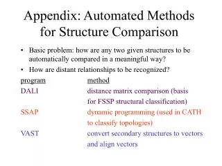
Comparison of Methods for Ice Bottom Mapping. Sahana Raghunandan, John Paden, Shannon Blunt, Carl Leuschen Ken Jezek , Xiaoqing Wu, John Paden, Carl Leuschen. Current Platforms. GPR. Twin Otter. P-3. DC-8. Methods. Interferometric SAR (INSAR)

E N D
Comparison of Methods for Ice Bottom Mapping • Sahana Raghunandan, John Paden, Shannon Blunt, Carl Leuschen • Ken Jezek, Xiaoqing Wu, John Paden, Carl Leuschen
Current Platforms GPR Twin Otter P-3 DC-8
Methods • Interferometric SAR (INSAR) • Beam forming followed by absolute phase estimation where phase is related to the angle of arrival • SAR Tomography • MUSIC • MLE • RISR
Basal Topography – Tomography and Interpolated Nadir Data Basal Topography estimate of IsunguataSermia Glacier computed by subtracting tomographicice thickness from ATM surface elevation model (upper). Basal topography estimated by interpolating nadir ice thickness data and subtracting from surface elevation model (lower).
Data Comparisons Basal topography constructed from tomography (red), nadir data (blue) and interpolated nadir-data (black) along the northerly (upper left), central (upper right) and southernly (lower left) profile lines. ATM derived surface elevation along the deglaciated terrain forward of the glacier (lower right) illustrates the similarity of the glaciated and deglaciated basal topography.
Proglacial and Subglacial Terrain Hill-shaded model of the tomography-derived basal topography (dark blue) overlaid on a hill-shaded model of the interpolated nadir-data topography (gray). These are overlaid on a hill-shaded model of the ice-sheet, exposed-rock surface (light blue). The vertical exaggeration of each model is 10x. Similarity between proglacial and subglacial terrain suggests that erorsion processes largely unchanged as glacier has retreated.